Allabands Mill Stream (Isaac Branch tributary)
Allabands Mill Stream is a 1.80 mi (2.90 km) long 1st order tributary to Isaac Branch in Kent County, Delaware.
| Allabands Mill Stream Tributary to Isaac Branch | |
|---|---|
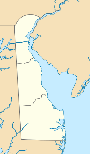
 Location of Allabands Mill Stream mouth  Allabands Mill Stream (Isaac Branch tributary) (the United States) | |
| Location | |
| Country | United States |
| State | Delaware |
| County | Kent |
| Physical characteristics | |
| Source | divide between Allabands Mill Stream and Willow Grove Prong (Choptank River) |
| • location | about 2 miles west-southwest of Alms House, Delaware |
| • coordinates | 39°06′55″N 075°36′14″W[1] |
| • elevation | 58 ft (18 m)[2] |
| Mouth | Isaac Branch |
• location | about 0.5 miles east of Wild Quail, Delaware |
• coordinates | 39°05′41″N 075°36′30″W[1] |
• elevation | 39 ft (12 m)[2] |
| Length | 1.80 mi (2.90 km)[3] |
| Basin size | 0.80 square miles (2.1 km2)[4] |
| Discharge | |
| • location | Isaac Branch |
| • average | 0.98 cu ft/s (0.028 m3/s) at mouth with Isaac Branch[4] |
| Basin features | |
| Progression | north |
| River system | St. Jones River |
| Tributaries | |
| • left | unnamed tributaries |
| • right | unnamed tributaries |
| Bridges | Jebb Road, Westville Road |
History
Allabands Mill Stream was named for William Allaband, who operated a nearby grist mill called Allaband's Mill in the early 1800s.[5]
Course
Allabands Mill Stream rises about 2 miles west-southwest of Alms House in Kent County, Delaware on the Willow Grove Prong divide. Allabands Mill Stream then flows north to meet Isaac Branch about 0.5 miles east of Wild Quail, Delaware.[2]
Watershed
Allabands Mill Stream drains 0.80 square miles (2.1 km2) of area, receives about 44.8 in/year of precipitation, has a topographic wetness index of 615.36 and is about 2% forested.[4]
gollark: There are at least 3 TLDs, but good idea.
gollark: (I assume it's just working off knowledge of other lisps and not comprehending your code, though)
gollark: I don't know why it said `env` at the end, but that was quite a good explanation.
gollark: It really seems like this should just be called `apply`, though.
gollark: I don't care, Codex explained it.
See also
- List of Delaware rivers
Maps
.gif)
Course and Watershed of Allabands Mill Stream (Isaac Branch tributary)
References
- "GNIS Detail - Allabands Mill Stream". geonames.usgs.gov. US Geological Survey. Retrieved 18 October 2019.
- "Allabands Mill Stream Topo Map, Kent County DE (Wyoming Area)". TopoZone. Locality, LLC. Retrieved 18 October 2019.
- "ArcGIS Web Application". epa.maps.arcgis.com. US EPA. Retrieved 18 October 2019.
- "Allabands Mill Stream Watershed Report". Waters Geoviewer. US EPA. Retrieved 18 October 2019.
- "East Dover Hundred, Kent County, Delaware". deahgp.genealogyvillage.com. L.J. Richards and Co. Retrieved 18 October 2019.
This article is issued from Wikipedia. The text is licensed under Creative Commons - Attribution - Sharealike. Additional terms may apply for the media files.
