Alkara
Alkara is a small village in the Barnala district in the state of Punjab, India. Nearest town is Bhadaur at a distance of 3 Km.
Alkara | |
|---|---|
village | |
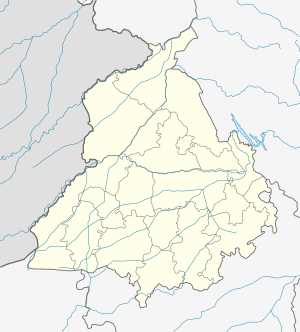 Alkara Location in Punjab, India | |
| Coordinates: 30.498736°N 75.297804°E | |
| Country | |
| State | Punjab |
| District | BARNALA |
| Government | |
| • Body | Gram panchayat |
| Elevation | 219 m (719 ft) |
| Population (2011) | |
| • Total | 2,019 |
| Languages | |
| • Official | Punjabi |
| Time zone | UTC+5:30 (IST) |
History
Alkara is a relatively younger village, it is around 200 years old.
Geography
Alkara is located at 30.498736°N 75.297804°E.[1] It has an average elevation of 219 metres (718 feet). It is at a distance of 4 km from nearest town Bhadaur.
Demographics
As of 2011 India census,[2] Alkara had a population of 2019. Males constitute 53% of the population and females 47%. Alkara has an average literacy rate of 57%, with 56% of the males and 44% of females literate. 10% of the population is under 6 years of age.
gollark: They are not universally unique between servers etc.
gollark: > as in, each installation has a different UUID?yeß
gollark: Oh yes, right, it crashed when you tried to use plethora with its cookie jars.
gollark: <@270035320894914560> Also, potatOS includes per-computer UUIDs now!
gollark: I assume they had some good reason to entirely remove it after that, probably more bugs.
References
This article is issued from Wikipedia. The text is licensed under Creative Commons - Attribution - Sharealike. Additional terms may apply for the media files.