Aggeneys Airport
Aggeneys Airport (IATA: AGZ, ICAO: FAAG) is an airport serving Aggeneys, a town in the Northern Cape, South Africa.[1]
Aggeneys Airport | |||||||||||
|---|---|---|---|---|---|---|---|---|---|---|---|
| Summary | |||||||||||
| Airport type | Public | ||||||||||
| Serves | Aggeneys, Northern Cape, South Africa | ||||||||||
| Elevation AMSL | 2,648 ft / 807 m | ||||||||||
| Coordinates | 29°16′54″S 018°48′49″E | ||||||||||
| Map | |||||||||||
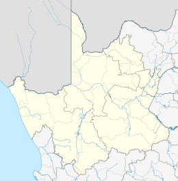 AGZ Location in the Northern Cape  AGZ AGZ (South Africa) | |||||||||||
| Runways | |||||||||||
| |||||||||||
Facilities
The airport resides at an elevation of 2,648 feet (807 m) above mean sea level. It has one runway designated 07/25 with an asphalt surface measuring 2,080 by 20 metres (6,824 ft × 66 ft).[1]
gollark: Birthday paradox apioapioapiids.
gollark: No.
gollark: CUID? UUIDv6?
gollark: Lack of justification interpreted as double communism.
gollark: Why? Also, please justify the rest of your statement.
See also
References
- Airport information for FAAG from DAFIF (effective October 2006)
- Airport information for AGZ at Great Circle Mapper. Source: DAFIF (effective October 2006).
External links
This article is issued from Wikipedia. The text is licensed under Creative Commons - Attribution - Sharealike. Additional terms may apply for the media files.