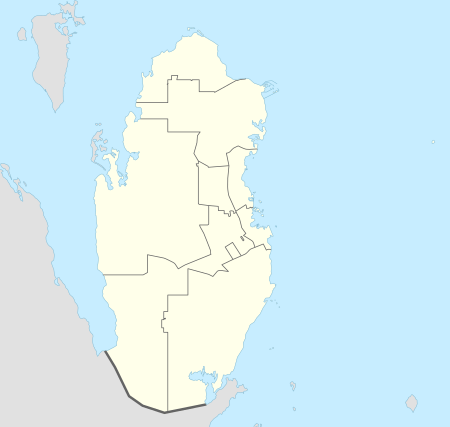
Abu Sidrah
Abu Sidrah (Arabic: أَبُو سِدْرَة, romanized: Abū Sidrah) is a village in northwest Qatar located in the municipality of Al-Shahaniya.[2][3] According to the Ministry of Environment, there were about five households in the village in 2014.[4]
Abu Sidrah أَبُو سِدْرَة | |
|---|---|
Village | |
 Abu Sidrah Location in Qatar | |
| Coordinates: 25°43′23″N 51°00′15″E[1] | |
| Country | |
| Municipality | Al-Shahaniya |
| Zone | Zone 73 |
It is accessible through Al Jemailiya Road. The settlements of Al Suwaihliya, to the north, and Al Jemailiya, to the south, are nearby.[3]
Etymology
"Abu" in Arabic means "father", and is commonly used as a prefix for geographical features. The "sidrah" component refers to Ziziphus nummularia, a tree that frequently occurs around the rawda (depression) which the village is centered around.[3]
Gallery
 Small mosque in Abu Sidrah
gollark: For new shops.
gollark: I think hydro at least said to not use it.
gollark: kMarx is deprecated, Xenon is used now.
gollark: Which bit? I'm not sure about the user experience bit, but it's harder to get more CPU than it is more GPU.
gollark: Also, decimal points would likely break basically everything in existence.
References
- "Abū Sidrah: Qatar". geographic.org. Retrieved 3 January 2019.
- "Qatar Development Atlas - Part 1" (PDF). Ministry of Development Planning and Statistics. 2010. p. 10. Retrieved 2 January 2019.
- "District map". The Centre for Geographic Information Systems of Qatar. Retrieved 2 January 2019.
- Paul Sillitoe (1 August 2014). "Sustainable Development: An Appraisal from the Gulf Region". Berghahn Books. p. 230.
This article is issued from Wikipedia. The text is licensed under Creative Commons - Attribution - Sharealike. Additional terms may apply for the media files.