Thordarhyrna
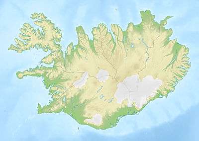
Thordarhyrna (Icelandic: Þórðarhyrna [ˈθourðarhɪrtna]) is one of seven[1] subglacial volcanoes beneath the Vatnajokull glacier Iceland.
| Thordarhyrna | |
|---|---|
 Thordarhyrna | |
| Highest point | |
| Listing | List of volcanoes in Iceland |
| Coordinates | 64°12′4″N 17°0′17″W |
| Geology | |
| Mountain type | Subglacial volcano |
| Last eruption | 1910 |
Eruptions
It last erupted in 1910 and prior to that in 1903.[2][3]
An eruption in 3550 BC ± 500 years poured out 150,000,000 cubic meters of lava in the area Bergvatnsarhraun to the south of Thordarhyrna.[4]
Geology
There is a mechanical interaction between Thordarhyrna and Grimsvötn, despite these volcanoes being relatively far apart,[6] so the eruption in 1902 - 1904 was combined with an eruption from Grimsvötn and had a Volcanic Explosivity Index (VEI) of 4.[7]
A fault runs (N.35°W) from Thordarhyrna towards Hamarinn, and separates two different tectonic regions.[8]
gollark: The roof has an AE2 system glued to it which does the main crafting.
gollark: Gold is supplied by a lens of the miner setup with some processing hooked to it. That dumps into the 28 or so storage caches.
gollark: Since I don't want to mine for those constantly, the machinery near the back grows redstone (and slime, string, cacti) and also produces several million wooden planks a day as byproduct. I don't know *what* to do with those.
gollark: I also wanted advanced computers (and tape drives and tapes) and turtles, so we need gold and redstone.
gollark: You see, this is designed to produce *infinite* computers. Glass and stone are easy. But computers need redstone.
See also
References
- "Archived copy" (PDF). Archived from the original (PDF) on 2012-03-09. Retrieved 2011-05-24.CS1 maint: archived copy as title (link) Figure 2.8 shows 7 volcanoes beneath the glacier
- "Archived copy". Archived from the original on 2012-12-21. Retrieved 2011-05-24.CS1 maint: archived copy as title (link) Eruptions in Iceland since 1900
- "Archived copy". Archived from the original on 2011-05-27. Retrieved 2011-05-27.CS1 maint: archived copy as title (link)
- "Elsevier".
- Surface and bedrock topography mapped by radio echo sounding
This article is issued from Wikipedia. The text is licensed under Creative Commons - Attribution - Sharealike. Additional terms may apply for the media files.