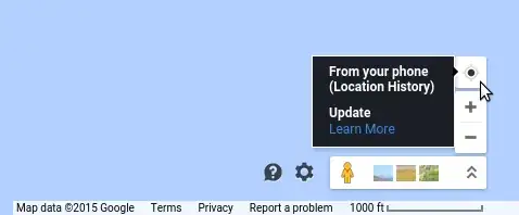
How does Google Maps determine my location?
I've gotten some understanding of Google Maps' geolocation methods from here: http://friendlybit.com/js/geolocation-and-google-maps/
In the newer browsers (all but IE6, IE7, or IE8) may ask you for your positioning information from the browser. It usually shows up as a bar at the top of the browser. The browser then gathers two specific forms of positioning information from your computer: your IP address and the signal strength of any wireless network near you. That information is then sent, if you approve it, to Google, which returns the coordinates you are at the moment.
[...]
If your wireless reciever is turned off, or you’re at a stationary computer, all calculations are based on the IP number. These kind of lookups are quite arbitrary and inaccurate, I just get to the nearest big city when trying to use it over a non-wireless line. But mobile connections are slowly taking over landlines, so I guess this problem will solve itself automatically.
According to this article, Google only uses my IP address if I am using a desktop. However, when I use a VPN to go online (and I can confirm that another IP geolocation service shows me as being on another continent), Google Maps is still able to accurately show my location. How does this work?
