Sankt Pantaleon-Erla
Sankt Pantaleon-Erla is a town in the district of Amstetten in Lower Austria in Austria.
Sankt Pantaleon-Erla | |
|---|---|
 Coat of arms | |
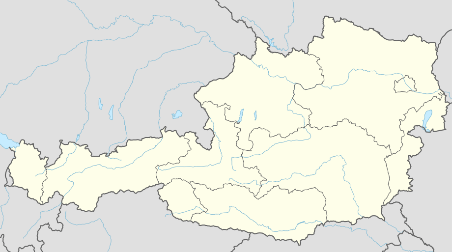 Sankt Pantaleon-Erla Location within Austria | |
| Coordinates: 48°12′N 14°34′E | |
| Country | Austria |
| State | Lower Austria |
| District | Amstetten |
| Government | |
| • Mayor | Rudolf Bscheid |
| Area | |
| • Total | 28.38 km2 (10.96 sq mi) |
| Elevation | 242 m (794 ft) |
| Population (2018-01-01)[2] | |
| • Total | 2,587 |
| • Density | 91/km2 (240/sq mi) |
| Time zone | UTC+1 (CET) |
| • Summer (DST) | UTC+2 (CEST) |
| Postal code | 4303 |
| Area code | 07435 |
Geography
St. Pantaleon-Erla lies on the west border of Upper Austria in the Mostviertel east of the confluence of the Enns Canal and the Danube. About 27.37 percent of the municipality is forested.
References
- "Dauersiedlungsraum der Gemeinden Politischen Bezirke und Bundesländer - Gebietsstand 1.1.2018". Statistics Austria. Retrieved 10 March 2019.
- "Einwohnerzahl 1.1.2018 nach Gemeinden mit Status, Gebietsstand 1.1.2018". Statistics Austria. Retrieved 9 March 2019.
| Authority control |
|
|---|
This article is issued from Wikipedia. The text is licensed under Creative Commons - Attribution - Sharealike. Additional terms may apply for the media files.