Raymore, Saskatchewan
Raymore is a town in Saskatchewan, Canada. It is 110 km north of Regina.
Raymore | |
|---|---|
Town | |
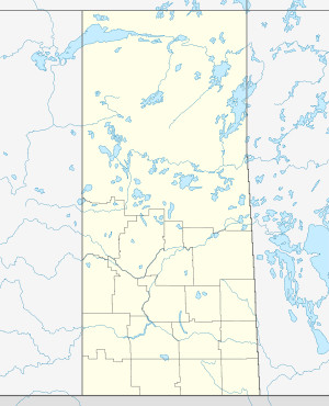 Raymore 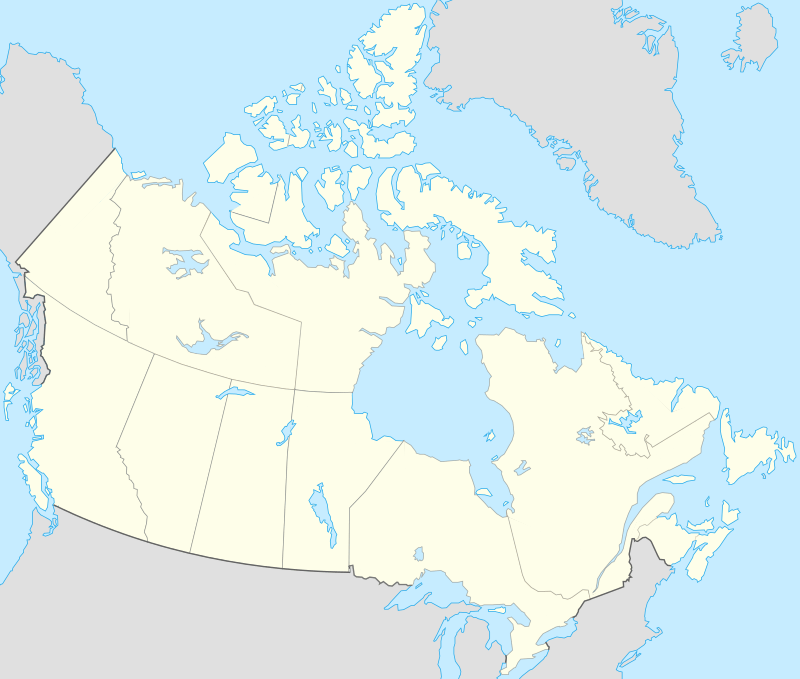 Raymore | |
| Coordinates: 51°24′29″N 104°31′42″W | |
| Country | Canada |
| Province | Saskatchewan |
| Region | Saskatchewan |
| Census division | 10 |
| Rural Municipality | Mount Hope |
| Post office Founded | 1909-03-01 |
| Incorporated (Town) | 1908 |
| Government | |
| • Mayor | Malcolm Koncz |
| • Chief Administrative Officer | Joanne Hamilton |
| • Governing body | Raymore Town Council |
| Area | |
| • Total | 2.75 km2 (1.06 sq mi) |
| Elevation | 619 m (2,031 ft) |
| Population (2011)[1] | |
| • Total | 568 |
| • Density | 206.8/km2 (536/sq mi) |
| Time zone | CST |
| Postal code | S0A 3J0 |
| Area code(s) | 306 |
| Highways | Highway 6 Highway 15 |
| [2][3] | |
It is the administrative headquarters of the Kawacatoose Cree First Nation band government.
History
The Raymore Pioneer Museum (c.1910-1) is a Municipal Heritage Property on the Canadian Register of Historic Places.[4]
- Raymore Hotel
Originally three-stories tall, the Raymore Hotel was completed in 1911 by Archibald G. MacLean.[5]
Demographics
By 1955 Raymore had a population of 405.[6]
| Canada census – Raymore, Saskatchewan community profile | |||
|---|---|---|---|
| 2016 | 2011 | 2006 | |
| Population: | 575 (-1.2% from 2011) | 568 (--2.2% from 2006) | 581 (-7.0% from 2001) |
| Land area: | 2.91 km2 (1.12 sq mi) | 2.75 km2 (1.06 sq mi) | 2.75 km2 (1.06 sq mi) |
| Population density: | 197.7/km2 (512/sq mi) | 206.8/km2 (536/sq mi) | 211.6/km2 (548/sq mi) |
| Median age: | 47.9 (M: 46.1, F: 51.0) | 47.9 (M: 45.2, F: 50.8) | 46.5 (M: 42.9, F: 49.4) |
| Total private dwellings: | 295 | 284 | 283 |
| Median household income: | $30,687 | ||
| References: 2016[7] 2011[8] 2006[9] earlier[10] | |||
Climate
| Climate data for Raymore | |||||||||||||
|---|---|---|---|---|---|---|---|---|---|---|---|---|---|
| Month | Jan | Feb | Mar | Apr | May | Jun | Jul | Aug | Sep | Oct | Nov | Dec | Year |
| Record high °C (°F) | 7 (45) |
6.5 (43.7) |
15.5 (59.9) |
30 (86) |
36.7 (98.1) |
37 (99) |
38 (100) |
37.8 (100.0) |
35.6 (96.1) |
28 (82) |
20.6 (69.1) |
8 (46) |
38 (100) |
| Average high °C (°F) | −11.8 (10.8) |
−9 (16) |
−1.8 (28.8) |
9.6 (49.3) |
18 (64) |
22 (72) |
24.7 (76.5) |
23.8 (74.8) |
16.6 (61.9) |
10.3 (50.5) |
−2 (28) |
−9.8 (14.4) |
7.6 (45.7) |
| Daily mean °C (°F) | −16.9 (1.6) |
−14 (7) |
−6.5 (20.3) |
3.9 (39.0) |
11.5 (52.7) |
15.6 (60.1) |
18.2 (64.8) |
17.1 (62.8) |
10.6 (51.1) |
4.6 (40.3) |
−6.2 (20.8) |
−14.6 (5.7) |
1.9 (35.4) |
| Average low °C (°F) | −21.9 (−7.4) |
−19 (−2) |
−11.1 (12.0) |
−1.8 (28.8) |
4.9 (40.8) |
9.2 (48.6) |
11.6 (52.9) |
10.2 (50.4) |
4.5 (40.1) |
−1.2 (29.8) |
−10.4 (13.3) |
−19.3 (−2.7) |
−3.7 (25.3) |
| Record low °C (°F) | −45 (−49) |
−42.5 (−44.5) |
−38 (−36) |
−26.7 (−16.1) |
−10 (14) |
−2.8 (27.0) |
1.7 (35.1) |
−2.5 (27.5) |
−8.3 (17.1) |
−22.5 (−8.5) |
−34 (−29) |
−43 (−45) |
−45 (−49) |
| Average precipitation mm (inches) | 13 (0.5) |
9.2 (0.36) |
14.3 (0.56) |
21.4 (0.84) |
47.4 (1.87) |
66.9 (2.63) |
73.3 (2.89) |
47.9 (1.89) |
37.9 (1.49) |
21.1 (0.83) |
11.7 (0.46) |
16.1 (0.63) |
380.3 (14.97) |
| Source: Environment Canada[11] | |||||||||||||
References
- "2011 Community Profiles". Statistics Canada. Government of Canada. Retrieved 2014-08-21.
- National Archives, Archivia Net. "Post Offices and Postmasters". Retrieved 2014-08-21.
- Government of Saskatchewan, MRD Home. "Municipal Directory System". Retrieved 2014-08-21.
- http://www.historicplaces.ca/visit-visite/affichage-display.aspx?id=7426 Canadian Register of Historic Places.
- Raymore and District Historical Society (1980). From Prairie Wool to Golden Grain: Raymore and District 904-1979. Raymore, Saskatchewan: Raymore And District Historical Society. ISBN 9780889250987.
- Prairie Business Directories, Limited (1955). Prairie Business Directories, Limited (No. 3 ed.). Regina, Saskatchewan: Prairie Business Directories, Limited. p. 58.
- "2016 Community Profiles". 2016 Canadian Census. Statistics Canada. February 21, 2017. Retrieved 2018-03-11.
- "2011 Community Profiles". 2011 Canadian Census. Statistics Canada. July 5, 2013. Retrieved 2012-08-10.
- "2006 Community Profiles". 2006 Canadian Census. Statistics Canada. March 30, 2011. Retrieved 2012-08-10.
- "2001 Community Profiles". 2001 Canadian Census. Statistics Canada. February 17, 2012.
- Environment Canada - Canadian Climate Normals 1971-2000—Canadian Climate Normals 1971–2000, accessed 19 December 2010
| Towns |  | ||||
|---|---|---|---|---|---|
| Villages | |||||
| Resort villages | |||||
| Rural municipalities | |||||
| First Nations | |||||
| Indian reserves | |||||
| Unincorporated communities |
| ||||
This article is issued from Wikipedia. The text is licensed under Creative Commons - Attribution - Sharealike. Additional terms may apply for the media files.