Mount Columbia (Canada)
Mount Columbia is located in the Winston Churchill Range of the Rocky Mountains. It is the highest point in Alberta, Canada, and is second only to Mount Robson for height and topographical prominence in the Canadian Rockies. It is located on the border between Alberta and British Columbia on the northern edge of the Columbia Icefield. Its highest point, however, lies within Jasper National Park in Alberta.[4]
| Mount Columbia | |
|---|---|
 Mt. Columbia from the Columbia Icefield | |
| Highest point | |
| Elevation | 3,747 m (12,293 ft) [1] |
| Prominence | 2,383 m (7,818 ft) [2] |
| Listing |
|
| Coordinates | 52°08′50″N 117°26′30″W [3] |
| Geography | |
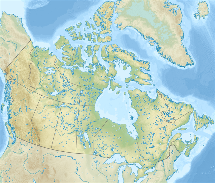 Mount Columbia Location in Canada on Alberta—British Columbia border 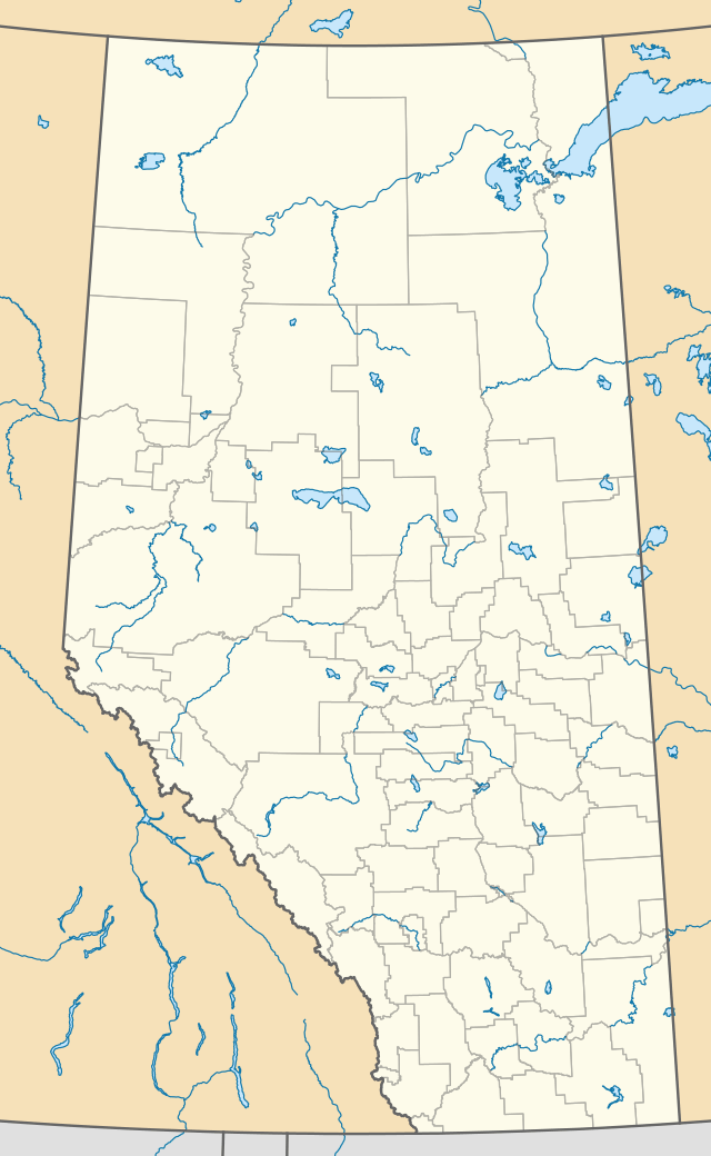 Mount Columbia Mount Columbia (Alberta)  Mount Columbia Mount Columbia (British Columbia) | |
| Country | Canada |
| Provinces | Alberta and British Columbia |
| Park | Jasper National Park |
| Parent range | Winston Churchill Range (Canadian Rockies) |
| Topo map | NTS 83C/03[3] |
| Climbing | |
| First ascent | 1902 by James Outram, guided by Christian Kaufmann[1] |
| Easiest route | snow/glacier climb |
The mountain was named in 1898 by J. Norman Collie after the Columbia River.[1] The river itself was named after the American ship Columbia Rediviva captained by Robert Gray, who first ventured over a dangerous sandbar and explored the lower reaches of the river in 1792.[5] Mount Columbia was first ascended in 1902 by James Outram, guided by Christian Kaufmann.
Climbing routes

The normal route is on the east face, a non-technical glacier climb that is straightforward in summer, albeit with a long approach (approx. 19 km (12 mi)) up the Athabasca Glacier and over the Columbia Icefield. Camping by King's Trench can reduce the approach down to 5 mi (8.0 km). Other routes include the North Ridge, which is more technical (Grade V, YDS 5.7, W3) but considered more spectacular.[1]
Geology
Mount Columbia is composed of sedimentary rock laid down from the Precambrian to Jurassic periods. Formed in shallow seas, this sedimentary rock was pushed east and over the top of younger rock during the Laramide orogeny.[6]
Climate
Based on the Köppen climate classification, Mount Columbia is located in a subarctic climate with cold, snowy winters, and mild summers.[7] Temperatures can drop below -20 °C with wind chill factors below -30 °C.
See also
- List of mountains in the Canadian Rockies
- List of highest points of Canadian provinces and territories
- Mountain peaks of North America
- Mountain peaks of the Rocky Mountains
- Canadian Rockies
References
- "Mount Columbia". PeakFinder.com. Retrieved 2003-11-06.
- "Mount Columbia". Bivouac.com. Retrieved 2007-01-17.
- "Mount Columbia". BC Geographical Names. Retrieved 2014-02-09.
- "Mount Columbia". Peakbagger.com. Retrieved 2018-03-06.
- "Cape Disappointment State Park (WA)". National Park Service. Retrieved 2014-02-09.
- Gadd, Ben (2008). "Geology of the Rocky Mountains and Columbias". Missing or empty
|url=(help) - Peel, M. C.; Finlayson, B. L. & McMahon, T. A. (2007). "Updated world map of the Köppen−Geiger climate classification". Hydrol. Earth Syst. Sci. 11: 1633–1644. ISSN 1027-5606.
Gallery
 Mount Columbia, from the summit of Snow Dome
 Mt. Columbia from bivy by Kings Trench
 From Mt. Columbia summit looking SW
 Mts. Columbia & King Edward, relative positions
External links
- "Mount Columbia". BC Geographical Names.
- Mount Columbia on Bivouac
- "Mount Columbia (Canada)". Peakware.com. Archived from the original on 2016-03-04.
- "Mount Columbia, Alberta/British Columbia" on Peakbagger