Mount Canicula
Mount Canicula (63°43′S 58°30′W) is a mountain formed of two rock peaks, 890 and 825 metres (2,920 and 2,710 ft) high. It stands 3 nautical miles (6 km) east of Sirius Knoll on the divide separating Russell East Glacier and Russell West Glacier in central Trinity Peninsula, and is linked to Louis-Philippe Plateau to the north by Verdikal Gap,[1] and to Trakiya Heights to southwest by Srem Gap.[2] It was charted in 1946 by the Falkland Islands Dependencies Survey, and named by them because of the association with Sirius Knoll: Canicula is a synonym of Sirius, the dog star.[3]
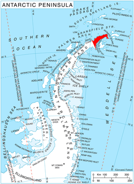
Map
- Trinity Peninsula. Scale 1:250000 topographic map No. 5697. Institut für Angewandte Geodäsie and British Antarctic Survey, 1996.
References
- Srem Gap. SCAR Composite Antarctic Gazetteer.
- Verdikal Gap. SCAR Composite Antarctic Gazetteer.
- "Canicula, Mount". Geographic Names Information System. United States Geological Survey. Retrieved 2011-10-23.
![]()