Kaligandaki
Kaligandaki (Nepali: कालिगण्डकी) is a Village council in Syangja District in Gandaki Pradesh, central Nepal. In 12 March 2017, the government of Nepal implemented a new local administrative structure consisting of 744 local units.[1][2] With the implementation of the new local administrative structure, VDCs have been replaced with municipal & village councils.[3] Kaligandaki is one of these 744 local units.[4] Kaligandaki is created by merging Alamdevi, Birgha Archale, Chandibhanjyang & Shreekrishna Gandaki.[5]
Kaligandaki कालिगण्डकी | |
|---|---|
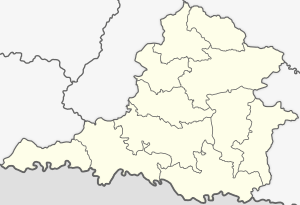 Kaligandaki in Syangja District | |
 Kaligandaki Location in Gandaki Pradesh 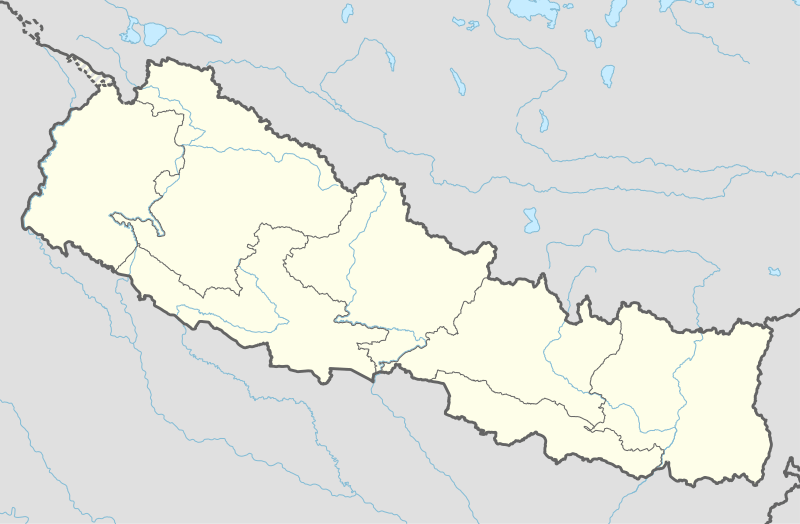 Kaligandaki Kaligandaki (Nepal) | |
| Coordinates: 27.953728°N 83.512351°E | |
| Country | |
| Nepalese Federal States | Gandaki Pradesh |
| District | Syangja District |
| Area | |
| • Total | 73.51 km2 (28.38 sq mi) |
| Population | |
| • Total | 21,728 |
| • Density | 300/km2 (770/sq mi) |
| Time zone | UTC+5:45 (Nepal Time) |
| Website | kaligandakimunsyangja |
Political situation
Kaligandaki is divided into 7 Wards. It is surrounded by Gulmi District at northern side, Galyang Municipality from east, Gulmi District & Palpa District from west and Palpa District at south. Birgha Archale is its headquarter.[4]
Population
As Kaligandaki is created by merging Alamdevi, Birgha Archale, Chandibhanjyang & Shreekrishna Gandaki. The total population of Kaligandaki, 21,728, is residing in an area of 73.51 km2.[6]
References
- "PM Dahal inaugurates operation of 744 local levels". The Himalayan Times. Retrieved 14 March 2017.
- "744 new local units come into effect". The Kathmandu Post. Retrieved 15 March 2017.
- "New civic set-up comes into effect". The Himalayan Times. Retrieved 11 March 2017.
- "Which local units are you in?". Seto Pati. Archived from the original on 12 March 2017. Retrieved 16 March 2017.
- "Which local unit do you belong to?". MyRepublica. Retrieved 11 March 2017.
- "Syangja VDC Level Report" (PDF). Central Bureau of Statistics. Archived from the original (PDF) on 2014-10-26.