Cranbourne West, Victoria
Cranbourne West is a suburb in Melbourne, Victoria, Australia, 40 km south-east of Melbourne's central business district. Its local government area is the City of Casey. At the 2016 Census, Cranbourne West had a population of 15,035.[1]
| Cranbourne West Melbourne, Victoria | |||||||||||||||
|---|---|---|---|---|---|---|---|---|---|---|---|---|---|---|---|
 Cranbourne West | |||||||||||||||
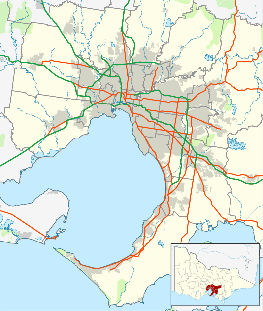
| Coordinates | 38.103°S 145.267°E | ||||||||||||||
| Population | 15,035 (2016 census)[1] | ||||||||||||||
| • Density | 4,300/km2 (11,130/sq mi) | ||||||||||||||
| Postcode(s) | 3977 | ||||||||||||||
| Area | 3.5 km2 (1.4 sq mi) | ||||||||||||||
| Location |
| ||||||||||||||
| LGA(s) | City of Casey | ||||||||||||||
| State electorate(s) | Cranbourne | ||||||||||||||
| Federal Division(s) | Holt | ||||||||||||||
| |||||||||||||||
Cranbourne West has developed since the 1990s, and in 2006 had a new shopping centre opened called 'The Sandhurst Centre', on the corner of Duff Street and Monahans Road.
The Year 7-12 private Catholic School, St Peters College, is situated on Sladen Street in the far south of the suburb.
The Cranbourne West Development Plan was released in 2008 by the City of Casey and includes a large parcel of land bounded by Thompsons Road to the North, Evans Road to the East, Western Port Highway to the West, and the recently partially-built Ballarto Road and the Urban Growth Boundary (as of 2012) to the south. the new development currently as of 2020 has a part of the planned large industrial area, a new Shopping Centre with a Woolworths Supermarket, housing, a network of parks and pathways, a primary school, and a planned secondary college. Low-density housing is provided for at the south of the parcel north of the Urban Growth Boundary.[2][3]
References
- Australian Bureau of Statistics (27 June 2017). "Cranbourne West (State Suburb)". 2016 Census QuickStats. Retrieved 17 November 2017.

- City Of Casey
- Growth Areas Authority