Black Springs, South Australia
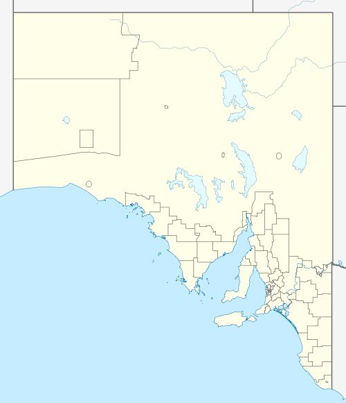
Black Springs is a locality and former township in South Australia's Mid North region. It lies on the east side of the Barrier Highway between Gawler to the south and Burra to the north.[1] The source of the Wakefield River is a few hundred metres south of the old township.
| Black Springs South Australia | |||||||||||||||
|---|---|---|---|---|---|---|---|---|---|---|---|---|---|---|---|
 Black Springs | |||||||||||||||
| Coordinates | 33.8965°S 138.8893°E | ||||||||||||||
| Postcode(s) | 5413 | ||||||||||||||
| Location | |||||||||||||||
| LGA(s) | District Council of Clare and Gilbert Valleys | ||||||||||||||
| Region | Mid North | ||||||||||||||
| State electorate(s) | Frome | ||||||||||||||
| Federal Division(s) | Grey | ||||||||||||||
| |||||||||||||||
Governance
Black Springs is governed at the local level by the District Council of Clare and Gilbert Valleys. It lies in the state electoral district of Frome and the federal electoral division of Grey.
See also
References
- "Placename Details: Black Springs". Property Location Browser. Government of South Australia. 31 October 2008. SA0007036. Retrieved 5 June 2019.
Private subdivision. Boundaries created for the long established name in January 2001.
This article is issued from Wikipedia. The text is licensed under Creative Commons - Attribution - Sharealike. Additional terms may apply for the media files.