Bad Ditzenbach
Bad Ditzenbach (Swabian: Ditzebach) is a municipality in the district of Göppingen in Baden-Württemberg in southern Germany.
Bad Ditzenbach | |
|---|---|
 View of Ditzenbach | |
 Coat of arms | |
Location of Bad Ditzenbach within Göppingen district   | |
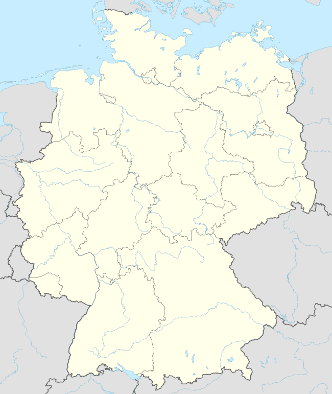 Bad Ditzenbach 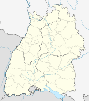 Bad Ditzenbach | |
| Coordinates: 48°35′9″N 9°41′31″E | |
| Country | Germany |
| State | Baden-Württemberg |
| Admin. region | Stuttgart |
| District | Göppingen |
| Area | |
| • Total | 25.46 km2 (9.83 sq mi) |
| Elevation | 509 m (1,670 ft) |
| Population (2018-12-31)[1] | |
| • Total | 3,741 |
| • Density | 150/km2 (380/sq mi) |
| Time zone | CET/CEST (UTC+1/+2) |
| Postal codes | 73342 |
| Dialling codes | 07334 Gosbach: 07335 |
| Vehicle registration | GP |
| Website | www |
History
The municipality of Bad Ditzenbach was formed on 1 January 1975 by the merging of the towns of Bad Ditzenbach, Auendorf, and Gosbach.[2]
Geography
The municipality (Gemeinde) of Bad Ditzenbach is situated in the district of Göppingen, of the German state of Baden-Württemberg. Bad Ditzenbach lies along Göppingen's district border with the Alb-Danube district to the south. The municipal area is physically located in the Middle Kuppenalb. Elevation above sea level in the municipality ranges from a high of 777 meters (2,549 ft) Normalnull (NN) to a low of 465 meters (1,526 ft) NN along the Fils.[2]
A portion of the Federally-protected Kaltes Feld mit Hornberg, Galgenberg und Eierberg is located in Bad Ditzenbach's municipal area.[2]
Politics
Bad Ditzenbach has three boroughs (Ortsteile): Auendorf, Bad Ditzenbach, and Gosbach. The municipality is an municipal association (Verwaltungsgemeinschaft) with the neighboring municipality of Deggingen.[2]
Coat of arms
The municipal coat of arms for Bad Ditzenbach displays a golden fountain with silver waters in front of a green, three-pointed hill that almost totally covers the field, also gold. The fountain is taken from the coat of arms of the town of Bad Ditzenbach, and the hill is a reference to the local terrain. The municipal coat of arms was approved by the Göppingen district office on 17 August 1977 and a corresponding flag issued.[2]
Transportation
Bad Ditzenbach is connected to Germany's network of roadways by Bundesautobahn 8, specifically its junction at Mühlhausen im Täle. Local public transportation is provided by the Verkehrsgemeinschaft Stauferkreis. From 1903 to 1968, the municipality was connected to Germany's railway to the Tälesbahn railroad.[2]
Notes
- "Bevölkerung nach Nationalität und Geschlecht am 31. Dezember 2018". Statistisches Landesamt Baden-Württemberg (in German). July 2019.
- "Bad Ditzenbach". LEO-BW (in German). Baden-Württemberg. Retrieved 27 July 2020.
External links
| Wikimedia Commons has media related to Bad Ditzenbach. |
- Official website

| Authority control |
|
|---|