Antrobus, Cheshire
Antrobus is a civil parish and village in Cheshire, England, immediately to the south of Warrington. It is situated within the unitary authority of Cheshire West and Chester, and has a population of 832,[1] reducing to 791 at the 2011 Census.[2] The parish is the most northeasterly point of Cheshire West and Chester, and as such borders both Warrington and Cheshire East. As well as Antrobus village centre itself, the parish includes other large hamlets at Frandley about one mile south west from the main village, and Crowley which is about two miles to the north east.
| Antrobus | |
|---|---|
 The centre of Antrobus village | |
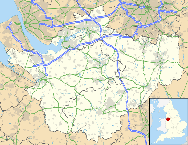 Antrobus Location within Cheshire | |
| OS grid reference | SJ643796 |
| Civil parish |
|
| Unitary authority | |
| Ceremonial county | |
| Region | |
| Country | England |
| Sovereign state | United Kingdom |
| Post town | NORTHWICH |
| Postcode district | CW9 |
| Dialling code | 01606 |
| Police | Cheshire |
| Fire | Cheshire |
| Ambulance | North West |
| UK Parliament | |
The village was struck by an F1/T3 tornado on 23 November 1981, as part of the record-breaking nationwide tornado outbreak on that day.[3] The village shop[4] and post office is owned and run cooperatively by the villagers for the benefit of the community having previously closed in 2003.
Etymology
The placename is recorded in the Domesday Book of 1086 as "Entrebus", and in the Pipe Rolls of Cheshire of 1282 as "Anterbus". The derivation of the name is from the Old Norse personal name "Eindrithi" or "Andrithi", with the Old Norse "buski", shrub, bush or thicket, the whole name thus signifying "Andrithi's thicket".
History
Antrobus is listed as a township of Great Budworth parish on Cheshire's Tithe map,[5] in the Bucklow Hundred and under the deanery of Frodsham. In 1894, Antrobus became a parish in its own right and a part of the Runcorn Rural District. In 1936, the neighbouring parishes of Crowley and Seven Oaks were abolished and brought under the control of Antrobus.[6] Through the 20th century usage of the term Seven Oaks to describe the south-west of Antrobus declined, and much of that area is now known as Frandley.[7] Seven Oaks has become truncated to Sevenoaks and now refers to the small hamlet surrounding the former Sevenoaks Saddlery and sawmill at the northernmost end of Gibb Hill.
The north-easternmost area of the parish was formerly taken up by a portion of the Arley estate, including all of the village of Arley itself, Crowley Hall Lodge and the surrounding farms. However, when Runcorn Rural District was abolished in 1974 Antrobus was moved into Vale Royal and neighbouring Aston by Budworth (within which the rest of the Arley Estate was contained) was transferred into Macclesfield (borough). This made the Antrobus portion the only remaining part of the estate not under Macclesfield's control. In 1978, for the ease of estate management and the paying of tax, Aston-by-Budworth Parish Council requested that the portion of Antrobus west of Arley Brook, Lodge Lane, and Caldwell's Gate Lane be transferred to their control.[8]
Culture

Soul Cakers
Antrobus is well known for its Soul Cakers, who travel around the county performing a soul caking play annually between All Souls Night (October 31) and November 12.[9] Based at their 'home pub' The Antrobus Arms, the Antrobus Soul Cakers have the longest unbroken run of soul caking performances in the world.[10]
Religion
Anglicanism
Antrobus' Anglican St Mark's Church is located in the village centre. It was designed by George Gilbert Scott and built in 1848.[11] It is grade II listed.
Quakerism
Legend has it that in the 18th century an oak tree in Seven Oaks was where George Fox preached to over 2,000 people. On this site, besides the oak tree, now stands the Frandley Quaker Meeting House [12] - one of only a small number of such meeting houses in Cheshire.[13] The first meeting house was built in 1726 and still stands today, but a larger replacement meeting house was built in 1880. The first meeting house now houses the Antrbous Pre-School Nursery.
See also
References
- Office for National Statistics : Census 2001 : Parish Headcounts : Vale Royal Archived 3 March 2016 at the Wayback Machine Retrieved 2009-10-10
- "Parish population 2011". Retrieved 29 May 2015.
- http://www.eswd.eu/cgi-bin/eswd.cgi
- News Items about Antrobus Village Shop. BBC News Website. Retrieval Date: 11 December 2007.
- https://maps.cheshireeast.gov.uk/tithemaps/
- "Runcorn RD through time | Census tables with data for the Local Government District". www.visionofbritain.org.uk. Retrieved 25 November 2017.
- https://digimap.edina.ac.uk/roam/map/historic
- Local Government Boundary Commission For England Report No.418. http://s3-eu-west-2.amazonaws.com/lgbce/__data/assets/pdf_file/0003/11964/418-macclesfield-and-vale-royal.pdf
- http://www.mastermummers.org/groupslist.php?format=full&oID=11&year=&format=full&csName=&otCode=G&step=&search=
- https://calendarcustoms.com/articles/antrobus-soulcakers/
- https://antrobushistory.wordpress.com/church/
- https://antrobushistory.wordpress.com/seven-oaks/
- https://www.quaker.org.uk/meetings?utf8=✓&location=CW9+6LD
- https://www.methodist.org.uk/about-us/connect/find-a-church/
- http://sankeyvalleymethodists.org.uk
External links
| Wikimedia Commons has media related to Antrobus. |
- Antrobus at GENUKI
- Antrobus in the Domesday Book
Cheshire Portal | |
| Unitary authorities | |
| Major settlements |
|
| Rivers | |
| Topics | |