Wyndham Vale
Wyndham Vale is a suburb of Melbourne, Victoria, Australia, 31 km south-west of Melbourne's Central Business District, located within the City of Wyndham local government area. Wyndham Vale recorded a population of 23,273 at the 2016 census.
| Wyndham Vale Melbourne, Victoria | |||||||||||||||
|---|---|---|---|---|---|---|---|---|---|---|---|---|---|---|---|
 Wyndham Vale Railway Station | |||||||||||||||
 Wyndham Vale | |||||||||||||||
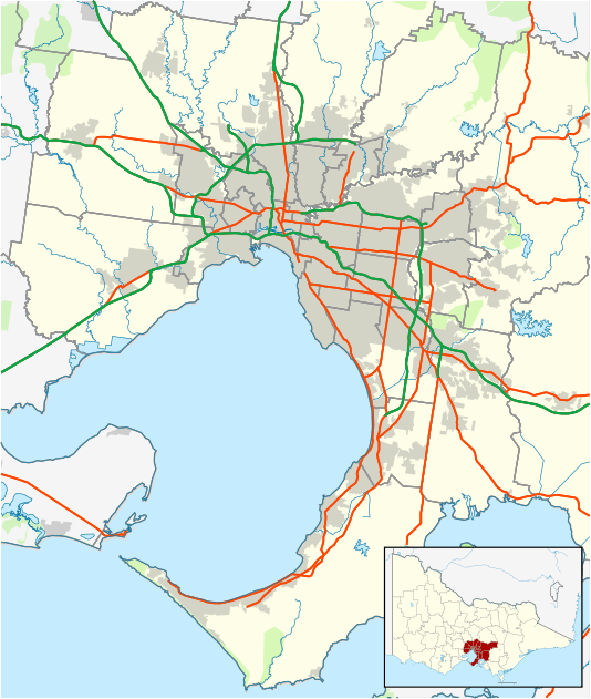
| Coordinates | 37.890°S 144.630°E | ||||||||||||||
| Population | 23,273 (2020)[1] | ||||||||||||||
| • Density | 7,510/km2 (19,440/sq mi) | ||||||||||||||
| Postcode(s) | 3024 | ||||||||||||||
| Area | 3.1 km2 (1.2 sq mi) | ||||||||||||||
| Location | |||||||||||||||
| LGA(s) | City of Wyndham Vale | ||||||||||||||
| State electorate(s) | Werribee | ||||||||||||||
| Federal Division(s) | Lalor | ||||||||||||||
| |||||||||||||||
Recreation and sport
Wyndham Vale Reserve, located on Honour Avenue is the home of the Wyndham Vale Sports Club. The sports club consists of the Wyndham Vale Cricket Club. The Sports Club has been set up with the ambition of improving sporting facilities in Wyndham Vale for the local community.
The Wyndham Vale Cricket Club has 6 Senior Men's, 1 Senior Women's and 4 Junior Cricket Teams. It also hosts a Milo Have-A-Go Clinic for children not yet old enough to play junior cricket.
The Wyndhamvale Football Club, an Australian Rules football team, competes in the Western Region Football League.[2] It has 2 Senior Men's Teams. The Wyndham Vale Falcons Junior Football Club has 7 Junior Boys Teams and a Youth Girls Team. Their homeground was previously also at Wyndham Vale Reserve on Honor Avenue, but has been at Wyndham Vale South Reserve on Black Forest Road (just over the border in Werribee) since 2014.[3]
President's Park, on McGrath Road is home to the Werribee Hockey Club. The club has 7 Senior Men's and Women's Teams and up to 12 Junior Teams. Furthermore, President's Park is also home to the Werribee Giants Baseball Club where the famous C.T. Wilson plays.
Education
There are several primary schools in Wyndham Vale including new Wyndham Vale South primary school, making it the fourth primary school in the area.
Prep — Year 12 school, Manor Lakes P-12/Specialist College was built in the Manor Lakes Estate and opened in 2010. The College has recently graduated the first ever year 12 students that started back in 2009 as year 7 students.[4] In addition a Catholic School has been built catering up to Prep — Grade 6 on the estate. Manor Lakes is approx 750 hectares in size and will eventually house more than 25 000 residents, making it the second largest residential development in Victoria after Caroline Springs.
Wyndham Central College offers education for Year 8 to Year 12. Wyndham Central College embarked on an ambitious educational improvement plan that commenced in 2012 with the provision of $16m through State budget and DEEWR for the whole school master plan. In 2013 the College commenced its new identity through the process of rebadging and introducing the new uniform.
Facilities
Wyndham Vale contains many businesses in the area, including restaurants, cafes, grocery stores, hair dressers a 7-Eleven, a BP service station and commercial car washes. Wyndham Vale contains facilities such as medical centres, pharmacies, news agency, bottle shops, a variety of take-a-ways such as pizza stores, fish and chips, Chinese, Indian and many more big names such as McDonald's restaurant, and various specialty shops. Future Kids childcare is also available in Manor Lakes shopping centre.
Transport
A new railway line opened in 2015, the Regional Rail Link, travels from West Werribee through Wyndham Vale to Tarneit and Deer Park and includes the new railway station of Wyndham Vale. The new station, built facing Armstrong Road with an exit onto Eureka Drive, provides a much faster service than the current Werribee railway line, which must pass through Altona and Footscray. It has car parking with over 600 spaces, ensuring Wyndham Vale becomes a prime regional area for those who commute to the city on a regular basis. Regional Rail Link also connects the Melton and Werribee railway lines and re-direct Geelong V/Line trains from the Werribee Line. Regional Rail Link opened on 21 June 2015, with Wyndham Vale railway station coming under metropolitan zone 2.
As part of the Regional Rail Link many roads were upgraded in Wyndham Vale. Apart from Armstrong Road being extensively upgraded, and a road bridge being built over the new railway line along Manor Lakes Boulevard, bridges were built over the railway line at Greens Road and Black Forest Road, which will enable a link between the existing estates and new housing developments on the other side of the railway line.
In 2015, coinciding with the opening of the Regional Rail Link, the Wyndham Bus Network was extensively upgraded and now caters to commuters from Wyndham Vale. Most bus services terminate and originate at Wyndham Vale Railway Station, and act as a go between for Werribee and Hoppers Crossing railway station's on the Metropolitan Network.
Miscellaneous
Wyndham Vale is located close to the site of many original Mad Max scene locations. Wyndham Vale is also known as Mad Max country. The suburb has creeks running through it toward Port Phillip, including Lollipop and Cherry Creeks. Near the Werribee Mansion, Werribee Zoo and the ghost town of Cocoroc, Wyndham Vale has a history of surrounds.
On 13 June 2012, Planning Minister Matthew Guy announced he would increase Melbourne's growth boundary by 5858 hectares, including extending the boundary to encompass the town of Wallan, land at Point Cook, Melton, Werribee and near Pakenham.[5]
New suburbs will include Diggers Rest, near Sunbury, Lockerbie & Lockerbie North, near Greenvale, Manor Lakes, in Wyndham Vale, Merrifield West, in the City of Hume and Rockbank North, near Melton.[6]
References
- Australian Bureau of Statistics (27 June 2017). "Wyndham Vale (State Suburb)". 2016 Census QuickStats. Retrieved 21 July 2017.

- Full Points Footy, Wyndhamvale, retrieved 15 April 2009
- "OUR HOME GROUND". Wyndhamvale Football Club. Retrieved 29 January 2020.
- ManorLakesP-12College, retrieved 25 March 2011
- http://www.theage.com.au/victoria/six-new-suburbs-for-melbourne-20120613-209a2.html
- VICNAMES - The Register of Geographic Names