White River (Yukon)
The White River (French: Rivière Blanche) is a tributary about 200 miles (320 km) long, of the Yukon River in the U.S. state of Alaska and the Canadian territory of Yukon.[3] The Alaska Highway crosses the White River near Beaver Creek.
| White River | |
|---|---|
 White River near Beaver Creek, Yukon | |
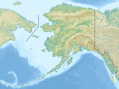 Location of the mouth of the White River in Yukon | |
| Location | |
| Countries |
|
| State/Territory | |
| Census Area | Valdez–Cordova in Alaska |
| Physical characteristics | |
| Source | Russell Glacier |
| • location | Wrangell–St. Elias National Park and Preserve, Saint Elias Mountains, Alaska |
| • coordinates | 61°40′18″N 141°50′01″W[1] |
| • elevation | 4,258 ft (1,298 m)[2] |
| Mouth | Yukon River[1] |
• location | 12 miles (19 km) upstream of the mouth of the Stewart River, Yukon |
• coordinates | 63°10′00″N 139°32′00″W[1] |
• elevation | 2,129 ft (649 m)[1] |
| Length | 200 mi (320 km)[3] |
The White River is glacier-fed and contains large amounts of suspended sediment. It transports 19 million tons of sediment per year in the upper part of its basin.[4] This dramatically changes the clarity of the Yukon River, which remains sediment laden from the confluence to its mouth.[4]
References
- "White River". Geographic Names Information System. United States Geological Survey. January 1, 2000. Retrieved November 10, 2013.
- Derived by entering source coordinates in Google Earth.
- Orth, Donald J.; United States Geological Survey (1971) [1967]. Dictionary of Alaska Place Names: Geological Survey Professional Paper 567 (PDF). University of Alaska Fairbanks. United States Government Printing Office. p. 1044. Retrieved November 10, 2013.
- Transport of Water, Carbon, and Sediment Through the Yukon River Basin
This article is issued from Wikipedia. The text is licensed under Creative Commons - Attribution - Sharealike. Additional terms may apply for the media files.