Wharminda, South Australia
Wharminda is a locality in the Australian state of South Australia located on the Eyre Peninsula about 242 kilometres (150 miles) west of the state capital of Adelaide.[2]
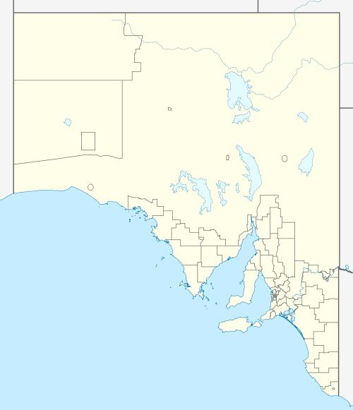
| Wharminda South Australia | |||||||||||||||
|---|---|---|---|---|---|---|---|---|---|---|---|---|---|---|---|
 Wharminda | |||||||||||||||
| Coordinates | 33.95378624°S 136.24576287°E | ||||||||||||||
| Established | 1998[1] | ||||||||||||||
| Postcode(s) | 5603[2] | ||||||||||||||
| Time zone | ACST (UTC+9:30) | ||||||||||||||
| • Summer (DST) | ACST (UTC+10:30) | ||||||||||||||
| Location | 242 km (150 mi) west of Adelaide | ||||||||||||||
| LGA(s) | District Council of Cleve[1] | ||||||||||||||
| Region | Eyre Western[3] | ||||||||||||||
| County | Jervois[1] | ||||||||||||||
| State electorate(s) | Flinders[4] | ||||||||||||||
| Federal Division(s) | Grey[5] | ||||||||||||||
| |||||||||||||||
| |||||||||||||||
| Footnotes | Location[2] Climate[6] Coordinates[1] Adjoining localities[1] | ||||||||||||||
Its boundaries were created in 1998 in respect to "the long established name" which is reported as being derived from the "native name of a spring and range of hills in the area."[1]
Wharminda Primary School opened as Wharminda Siding School in 1914.[7][8] The locality also contains a hall, library and tennis courts.[8]
A postal receiving office opened at Wharminda on 5 January 1914, became a licensed post office on 11 January 1994, and closed on 24 September 1999.[9] It also formerly had a siding on the Eyre Peninsula Railway, which still runs through Wharminda.[1]
The principal land use within the locality is ‘primary production’ which mainly concerned with "grazing and cropping." It also includes the protected area known as the Wharminda Conservation Park. [10][1]
Wharinda is located within the federal division of Grey, the state electoral district of Flinders and the local government area of the District Council of Cleve.[5][4][1]
References
- "Search result for "Wharminda (Locality Bounded)" (Record no SA0020829) with the following layers being selected - "Suburbs and Localities", "Government Towns", "Place names (gazetteer)", "Road labels" and "Development Plan"". Property Location Browser. Government of South Australia. Retrieved 28 December 2016.
- "Wharminda, South Australia (Postcode)". postcodes-australia.com. Retrieved 30 December 2016.
- "Eyre Western SA Government region" (PDF). The Government of South Australia. Retrieved 10 October 2014.
- "District of Flinders Background Profile". Electoral Commission SA. Retrieved 9 September 2015.
- "Federal electoral division of Grey" (PDF). Australian Electoral Commission. Retrieved 24 July 2015.
- "Monthly climate statistics: Summary statistics CLEVE AERODROME". Commonwealth of Australia , Bureau of Meteorology. Retrieved 28 December 2016.
- "Place Names of South Australia - W". The Manning Index of South Australian History. State Library of South Australia. Retrieved 28 December 2016.
- "Index". Wharminda Primary School. Retrieved 28 December 2016.
- "Wharminda". Post Office Reference. Premier Postal. Retrieved 28 December 2016.
- "Development Plan, Cleve (DC), Consolidated – 23 April 2015" (PDF). Government of South Australia. pp. 21, 136–137, 181, and 252–253. Retrieved 29 December 2016.