Weyprecht Fjord
Weyprecht Fjord is a fjord in Peary Land, northern Greenland. To the northwest, the fjord opens into the Lincoln Sea of the Arctic Ocean. It is part of the Northeast Greenland National Park.
| Weyprecht Fjord | |
|---|---|
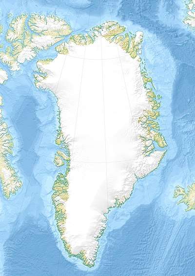 Weyprecht Fjord Location in Greenland | |
| Location | Arctic |
| Coordinates | 83°12′N 39°0′W |
| Ocean/sea sources | Lincoln Sea |
| Basin countries | Greenland |
| Max. length | 50 km (31 mi) |
| Max. width | 7 km (4.3 mi) |
| Frozen | All year round |
| Settlements | Uninhabited |
The fjord is named after Austro-Hungarian Arctic explorer Karl Weyprecht.
Geography
Weyprecht Fjord is located east of the De Long Fjord. It opens to the northwest east of Hazenland and to the west of Lockwood Island with the Conger Sound branching east of the island separating it from Roosevelt Land.[1] Its mouth is located between Cape Hommock and Cape Christiansen.[2]
In its inner part Weyprecht Fjord joins Harder Fjord, extending into Amundsen Land to the southeast and a valley running eastwards north of which rises the Roosevelt Range. The sea in the area is almost permanently covered by ice.[3]
 Map of Northern Ellesmere Island and far Northern Greenland. |
See also
References
- "Weyprecht Fjord". Mapcarta. Retrieved 18 March 2019.
- GoogleEarth
- Prostar Sailing Directions 2005 Greenland and Iceland Enroute, p. 95