Wamanpinta (Huaraz)
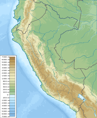
Wamanpinta (Quechua for Chuquiraga,[2] also spelled Huamanpinta) is a mountain in the Cordillera Blanca in the Andes of Peru which reaches a height of approximately 4,400 m (14,436 ft). It is located in the Ancash Region, Huaraz Province, Pira District.[1]
| Wamanpinta | |
|---|---|
 Wamanpinta Peru | |
| Highest point | |
| Elevation | 4,400 m (14,400 ft) [1] |
| Coordinates | 9°28′34″S 77°40′57″W |
| Geography | |
| Location | Peru, Ancash Region |
| Parent range | Andes, Cordillera Blanca |
Sources
- escale.minedu.gob.pe - UGEL map of the Huaraz Province (Ancash Region)
- Louis Girault, Kallawaya - guérisseurs itinérants des Andes. Recherches sur les pratiques médicinales et magiques. Paris 1984
gollark: I use Discord to send *me* notifications because it was easier for a few reasons, not the other way round.
gollark: This was made for RSAPI purposes so it omits a few things.
gollark: Yes.
gollark: osmarksdiagram™
gollark: I have very little understanding of lenses beyond ??? refractive index ??? bending light rays slightly ??? Fermat's principle.
This article is issued from Wikipedia. The text is licensed under Creative Commons - Attribution - Sharealike. Additional terms may apply for the media files.