Vodudahue Airport
Vodudahue Airport Spanish: Aeropuerto Vodudahue, (ICAO: SCDH) is an airstrip 56 kilometres (35 mi) northeast of Chaitén, a town in the Los Lagos Region of Chile. The airstrip is in the valley of the Vodudahue River, 5 kilometres (3.1 mi) east of where the river empties into the Comau Fjord. The valley extends eastward into Pumalín Park.
Vodudahue Airport | |||||||||||
|---|---|---|---|---|---|---|---|---|---|---|---|
| Summary | |||||||||||
| Airport type | Private | ||||||||||
| Serves | Chaitén, Chile | ||||||||||
| Elevation AMSL | 98 ft / 30 m | ||||||||||
| Coordinates | 42°29′20″S 72°21′05″W | ||||||||||
| Map | |||||||||||
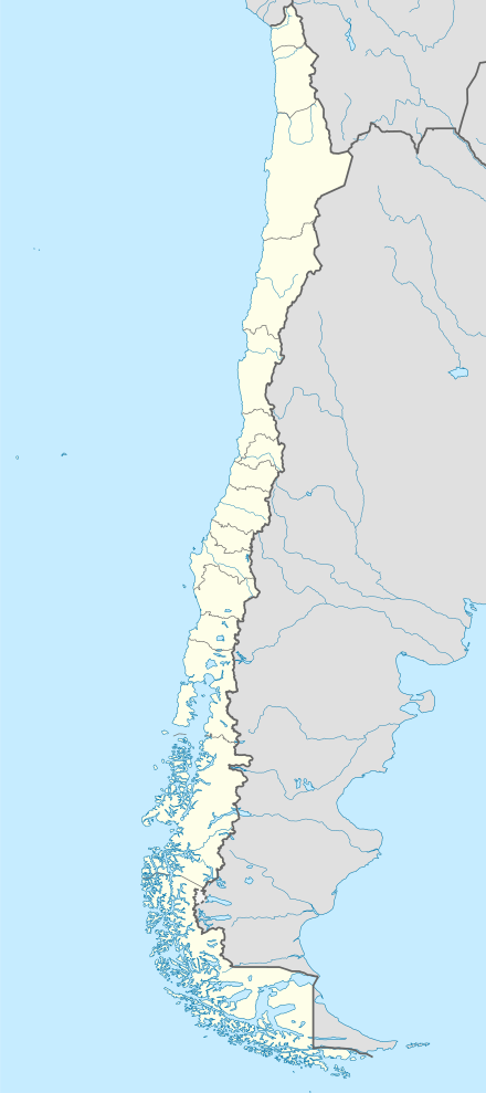 SCDH Location of Vodudahue Airport in Chile | |||||||||||
| Runways | |||||||||||
| |||||||||||
There is nearby mountainous terrain north and south of the airstrip, and distant mountainous terrain to the east. The west quadrant opens into the fjord.
The Chaiten VOR-DME (Ident: TEN) is 28.1 nautical miles (52.0 km) southwest of the airport.[4]
See also


- Transport in Chile
- List of airports in Chile
References
- Airport record for Vodudahue Airport at Landings.com. Retrieved 2013-09-03
- Google (2013-09-03). "location of Vodudahue Airport" (Map). Google Maps. Google. Retrieved 2013-09-03.
- Airport information for Vodudahue Airport at Great Circle Mapper.
- Chaiten VOR
External links
- OpenStreetMap - Vodudahue
- OurAirports - Vodudahue
- SkyVector - Vodudahue
- FallingRain - Vodudahue Airport
- Accident history for Vodudahue Airport at Aviation Safety Network
This article is issued from Wikipedia. The text is licensed under Creative Commons - Attribution - Sharealike. Additional terms may apply for the media files.