Virginia Highlands Airport
Virginia Highlands Airport (IATA: VJI[2], ICAO: KVJI, FAA LID: VJI) is a public use airport located two nautical miles (4 km) west of the central business district of Abingdon, a city in Washington County, Virginia, United States. It is owned by the Virginia Highlands Airport Authority.[1] This airport is included in the National Plan of Integrated Airport Systems for 2011–2015, which categorized it as a general aviation facility.[3]
Virginia Highlands Airport | |||||||||||
|---|---|---|---|---|---|---|---|---|---|---|---|
| Summary | |||||||||||
| Airport type | Public | ||||||||||
| Owner | Virginia Highlands Airport Authority | ||||||||||
| Serves | Abingdon, Virginia | ||||||||||
| Elevation AMSL | 2,087 ft / 636 m | ||||||||||
| Coordinates | 36°41′14″N 082°01′59″W | ||||||||||
| Website | www | ||||||||||
| Map | |||||||||||
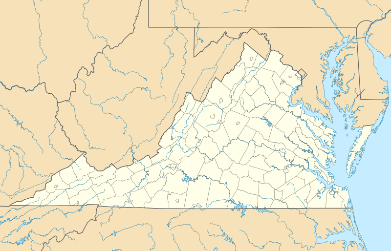 VJI Location of airport in Virginia | |||||||||||
| Runways | |||||||||||
| |||||||||||
| Statistics (2011) | |||||||||||
| |||||||||||
Facilities and aircraft
Virginia Highlands Airport covers an area of 184 acres (74 ha) at an elevation of 2,087 feet (636 m) above mean sea level. It has one runway designated 6/24 with an asphalt surface measuring 4,471 by 75 feet (1,363 x 23 m).[1]
For the 12-month period ending May 31, 2011, the airport had 25,260 aircraft operations, an average of 69 per day: 90% general aviation, 9.% air taxi, and 1% military. At that time there were 67 aircraft based at this airport: 69% single-engine, 10% jet, 8% multi-engine, 8% helicopter, and 6% ultralight.[1]
References
- FAA Airport Master Record for VJI (Form 5010 PDF). Federal Aviation Administration. Effective November 15, 2012.
- "IATA Airport Code Search (VJI: Abingdon / Virginia Highlands)". International Air Transport Association. Retrieved June 9, 2013.
- "2011–2015 NPIAS Report, Appendix A" (PDF, 2.03 MB). National Plan of Integrated Airport Systems. Federal Aviation Administration. October 4, 2010.
External links
- Virginia Highlands Airport, official site
- Aerial image as of April 1998 from USGS The National Map
- FAA Terminal Procedures for VJI, effective August 13, 2020
- Resources for this airport:
- FAA airport information for VJI
- AirNav airport information for KVJI
- ASN accident history for VJI
- FlightAware airport information and live flight tracker
- NOAA/NWS weather observations: current, past three days
- SkyVector aeronautical chart, Terminal Procedures