Villa Tapera Airport
Villa Tapera Airport (Spanish: Aeropuerto Villa Tapera), (ICAO: SCRC) is an airport serving the village of La Tapera in the Lago Verde commune of Chile's Aysén Region. It is 83 kilometres (52 mi) east of Puerto Cisnes.
Villa Tapera Airport | |||||||||||
|---|---|---|---|---|---|---|---|---|---|---|---|
| Summary | |||||||||||
| Airport type | Public | ||||||||||
| Serves | La Tapera, Chile | ||||||||||
| Elevation AMSL | 1,640 ft / 500 m | ||||||||||
| Coordinates | 44°38′25″S 71°39′55″W | ||||||||||
| Map | |||||||||||
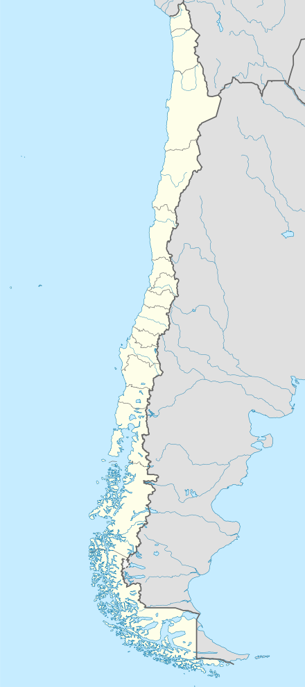 SCRC Location of Villa Tapera Airport in Chile | |||||||||||
| Runways | |||||||||||
| |||||||||||
The runway is just north of the village, and south of the Cisnes River. There are nearby hills off the east end, and rising terrain in all quadrants.
See also


- Transport in Chile
- List of airports in Chile
References
- Airport record for Villa Tapera Airport at Landings.com. Retrieved 2013-09-11
- Google (2013-09-11). "location of Villa Tapera Airport" (Map). Google Maps. Google. Retrieved 2013-09-11.
- Airport information for Villa Tapera Airport at Great Circle Mapper.
External links
- OpenStreetMap - Villa Tapera
- OurAirports - Villa Tapera
- SkyVector - Villa Tapera
- Accident history for Villa Tapera Airport at Aviation Safety Network
This article is issued from Wikipedia. The text is licensed under Creative Commons - Attribution - Sharealike. Additional terms may apply for the media files.