Vicuña Airport
Vicuña Airport Spanish: Aeropuerto de Vicuña or El Indio Airport, (ICAO: SCVC) is an extremely high elevation airstrip 66 kilometres (41 mi) east-northeast of Vicuña, Coquimbo, Chile.
Vicuña Airport El Indio Airport | |||||||||||
|---|---|---|---|---|---|---|---|---|---|---|---|
| Summary | |||||||||||
| Airport type | Public | ||||||||||
| Elevation AMSL | 11,975 ft / 3,650 m | ||||||||||
| Coordinates | 29°50′00″S 70°02′46″W | ||||||||||
| Map | |||||||||||
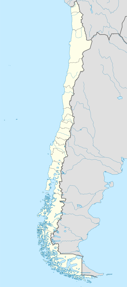 SCVC Location of Vicuña Airport in Chile | |||||||||||
| Runways | |||||||||||
| |||||||||||
The airstrip serves several small settlements, and is subject to snow cover. It is within a small fold above a steep mountain valley high in the Andes, and runs uphill to the north. There is mountainous terrain in all quadrants, with a best escape route[4] to the south down the valley.
See also


- Transport in Chile
- List of airports in Chile
References
- Airport record for Vicuña Airport at Landings.com. Retrieved 2013-09-13
- Google (2013-09-13). "location of Vicuña Airport" (Map). Google Maps. Google. Retrieved 2013-09-13.
- Airport information for Vicuña Airport at Great Circle Mapper.
- Mountainous terrain escape routes
External links
- OpenStreetMap - El Indio Airport
- OurAirports - El Indio Airport
- FallingRain - El Indio Airport
- Accident history for Vicuña Airport at Aviation Safety Network
This article is issued from Wikipedia. The text is licensed under Creative Commons - Attribution - Sharealike. Additional terms may apply for the media files.