Torkhow Valley
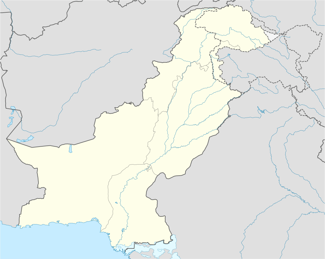
Torkhow Valley is a town and Tehsil (a subdivision) of Chitral District in the Khyber-Pakhtunkhwa province of Pakistan. Torkhow is located 108 km from the main city of Chitral, on the border of Wakhan valley of Afghanistan). Shagram is the administrative center of the Valley. A Higher Secondary school and Rural Health Center has been built here.[1] The language of Chitral, Khowar, originated from this area.[2] Most of the villages are situated on the right bank of Torkhow River, only Washich village is on the left bank.[3]
Torkhow Valley | |
|---|---|
 Torkhow Valley | |
| Coordinates: 35°33′29″N 71°47′33″E | |
| Country | |
| Province | Khyber-Pakhtunkhwa |
| District | Chitral |
| Elevation | 1,359 m (4,459 ft) |
| Time zone | UTC+5 (PST) |
Villages in Torkhow Valley
- 1. Istaru
- 2. Werkhup
- 3. Rayeen
- 4. Merlp
- 5. Sherjuli
- 6. Shagram
- 7. Khot
- 8. Washich
- 9. Ujnu
- 10. Rech
- 11. Buzund
References
This article is issued from Wikipedia. The text is licensed under Creative Commons - Attribution - Sharealike. Additional terms may apply for the media files.