Tol (island)
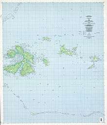
Tol (also known as Toleisom) is the largest and most populous island in the Faichuuk group of islands in Chuuk State, Federated States of Micronesia. Located in the west of Truk Lagoon, it is surrounded by the other islands such as Onei, Paata, and Polle.
 Location of Tol within Micronesia | |
| Geography | |
|---|---|
| Location | Pacific Ocean |
| Archipelago | Faichuk |
| Highest point | Mount Winipot elevation_m=448 |
| Administration | |
Federated States of Micronesia | |
| State | Chuuk |
Tol island is a municipality of the State of Chuuk. The island has 10 main villages. The 10 main villages are sometimes divided into a District or Kumi whenever there is a Mayoral Election on the island or within the State of Chuuk.
•Iku District (Ikumi) consist the villages of Wichukuno, Chukienu, and Foson.
•Yongku District (Yongkumi) consist the villages of Foup and Foupo.
•Niku District (Nikumi) consist the villages of Winifei, Nechocho, Faro, and Munien.
•Sangku District (Sangkumi) only consist the village of Wonip.
Each of the 10 main villages also contain sub-villages. Within the sub-villages, there are numerous sections of each village.
Traveling to some villages is complicated, since some villages are so remote from each other. Also, with the main road around the island being undeveloped along with no road transportation, a boat is sometimes needed to travel to one village to another.
The highest point on Tol, Mount Winipot, is the highest point in Chuuk State, at an elevation of 448 metres (1,470 ft). The high jungle forest which surrounds this peak is the sole habitat of the endemic great Truk white-eye.