Tiquie Airport
Tiquie Airport (ICAO: SKTE) is an airport serving Tiquié, a village in the Vaupés Department of Colombia. The runway is inside the village, which is on the upper reaches of the Tiquié River (sv). Tiquié is 14 kilometres (9 mi) west of the border with Brazil.
Tiquie Airport | |||||||||||
|---|---|---|---|---|---|---|---|---|---|---|---|
| Summary | |||||||||||
| Airport type | Public | ||||||||||
| Serves | Tiquié, Colombia | ||||||||||
| Elevation AMSL | 518 ft / 158 m | ||||||||||
| Coordinates | 0°14′00″N 70°10′10″W | ||||||||||
| Map | |||||||||||
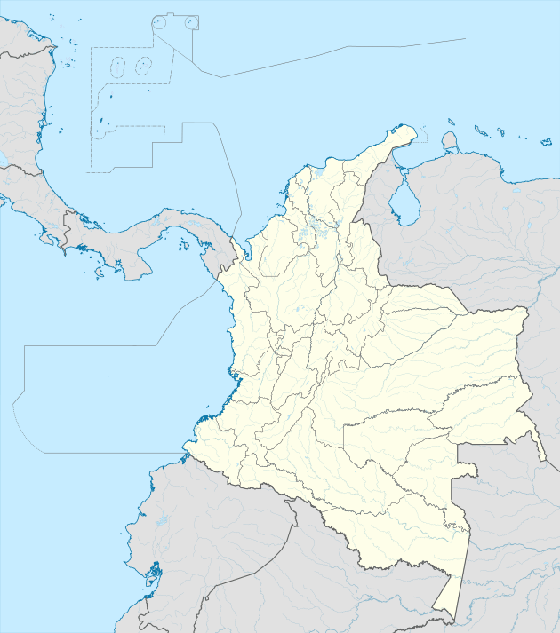 SKTE Location of airport in Colombia | |||||||||||
| Runways | |||||||||||
| |||||||||||
The Pari-Cachoeira non-directional beacon (Ident: PCR) is located 22.9 nautical miles (42 km) east of the runway.[3] The Mitu VOR-DME (Ident: MTU) is located 60.7 nautical miles (112 km) north of the runway.[4]
See also


- Transport in Colombia
- List of airports in Colombia
References
- "Tiquie Airport". Bing Maps. Microsoft. Retrieved 26 January 2019.
- "Tiquie Airport". Our Airports. Retrieved 26 January 2019.
- "Pari-Cachoeira NDB". Our Airports. Retrieved 25 January 2019.
- "Mitu VOR". Our Airports. Retrieved 25 January 2019.
This article is issued from Wikipedia. The text is licensed under Creative Commons - Attribution - Sharealike. Additional terms may apply for the media files.