Thomas Peak
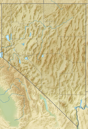
Thomas Peak is the second highest named mountain in both the Ruby Mountains and Elko County, in Nevada, United States. It is the thirty-fourth highest mountain in the state.[4] The peak is located about 24 miles (39 km) southeast of the city of Elko in the Ruby Mountains Wilderness, within the Ruby Mountains Ranger District of the Humboldt-Toiyabe National Forest.[2] One of the most voluminous mountains in the range, its base makes up most of the east wall of Thomas Canyon, as well as the west wall of the long curved section of upper Lamoille Canyon.
| Thomas Peak | |
|---|---|
 Thomas Peak, viewed from Verdi Peak | |
| Highest point | |
| Elevation | 11,321 ft (3,451 m) NAVD 88[1] |
| Prominence | 1,080 ft (329 m) [2] |
| Coordinates | 40°37′19″N 115°23′34″W [1] |
| Geography | |
 Thomas Peak | |
| Location | Elko County, Nevada, U.S. |
| Parent range | Ruby Mountains |
| Topo map | USGS Ruby Dome |
| Climbing | |
| Easiest route | From Island Lake, Class 2 scramble north up an avalanche chute and then west along the ridgeline[3] |
Thomas Peak and the adjacent canyon and campground is named after Raymond Thomas, a teacher at Elko High School, who led a group of hikers into the canyon in October 1916. Caught in an early snowstorm, he died while assisting his party until rescuers could arrive.[5]
Summit panorama
_of_Thomas_Peak%2C_Nevada.jpg)
References
- "THOMAS". NGS data sheet. U.S. National Geodetic Survey. Retrieved 2014-10-14.
- "Thomas Peak, Nevada". Peakbagger.com. Retrieved 2014-01-28.
- "Thomas Peak". SummitPost.org. Retrieved 2014-11-12.
- "Nevada 11,000-foot Peaks". Peakbagger.com. Retrieved 2014-10-22.
- "What's in a Name?". Howard Hickson'S Histories. Great Basin College. Retrieved 2014-01-28.