Tapurucuara Airport
Tapurucuara Airport (ICAO: SKTP) is an airport serving the Querari River village of Tapurucuara in the Vaupés Department of Colombia.
Tapurucuara Airport | |||||||||||||||
|---|---|---|---|---|---|---|---|---|---|---|---|---|---|---|---|
| Summary | |||||||||||||||
| Airport type | Public | ||||||||||||||
| Serves | Tapurucuara, Colombia | ||||||||||||||
| Elevation AMSL | 621 ft / 189 m | ||||||||||||||
| Coordinates | 1°28′18″N 70°09′50″W | ||||||||||||||
| Map | |||||||||||||||
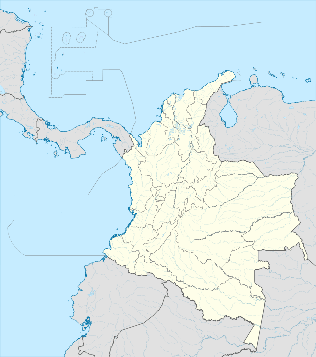 SKTP Location of the airport in Colombia | |||||||||||||||
| Runways | |||||||||||||||
| |||||||||||||||
See also


- Transport in Colombia
- List of airports in Colombia
References
External links
- OpenStreetMap - Tapurucuara
- FallingRain - Tapurucuara Airport
- Google Maps - Tapurucuara
- HERE/Nokia - Tapurucuara
This article is issued from Wikipedia. The text is licensed under Creative Commons - Attribution - Sharealike. Additional terms may apply for the media files.