Svaneti Range
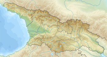
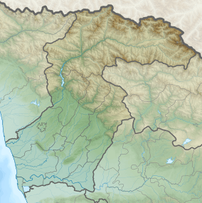
Svaneti Range (Georgian: სვანეთის ქედი) is an 85 km long sub-mountain range of the Greater Caucasus, in the Svaneti region of Georgia, located south of the main Caucasus ridge in a west–east direction. [1]
| Svaneti Range | |
|---|---|
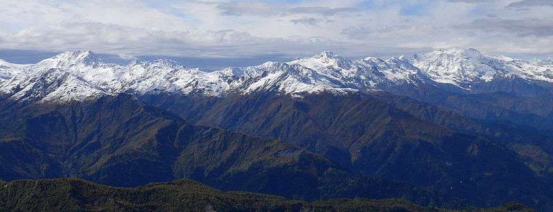
.jpg) View of Svipi, Tviberi and Lezgara from Kalashi | |
| Highest point | |
| Peak | Mount Laila |
| Elevation | 4,009 m (13,153 ft) |
| Dimensions | |
| Length | 85 km (53 mi) W-E |
| Geography | |
  | |
| Country | Georgia |
| Province | Svaneti |
| Range coordinates | 42°54′N 42°46′E |
| Parent range | Caucasus Mountains |
| Borders on | Greater Caucasus |
The Svaneti Range runs along the border between the regions of Racha-Lechkhumi and Kvemo Svaneti and Samegrelo-Zemo Svaneti (North and South Svaneti) in the north of Georgia. It forms the watershed between the Enguri River (to the north and west) and the Tskhenistsqali (to the south). The right Tskhenistsqali tributary Cheledula separates the mountains from the further south Egrissi Mountains. The Svanetic Mountains reach a maximum altitude of 4009 m in the Laila. The ridge is partially glacier.
Geology
Svaneti Range is composed mainly of sedimentary ( mica, schist ) and partly of metamorphic rocks ( quartzite , slate ).
Vegetation
On the slopes grow subalpine and alpine vegetation. The slopes of the Svaneti Range at lower elevations are covered with forests of beech, spruce and fir.
References
- Devdariani G., Georgian Soviet Encyclopedia , vol. 9, pages 310-311, 1985.
| Wikimedia Commons has media related to Svaneti Range. |