Sukagawa Ichirizuka
The Sukagawa Ichirizuka (須賀川一里塚) is a historic Japanese distance marker akin to a milestone, comprising a pair of earthen mounds located in what is now part of the city of Sukagawa, Fukushima Prefecture in the Tōhoku region of Japan. It was designated a National Historic Site of Japan in 1936.[1]
須賀川一里塚 | |
 Sukagawa Ichirizuka | |
Sukagawa Ichirizuka 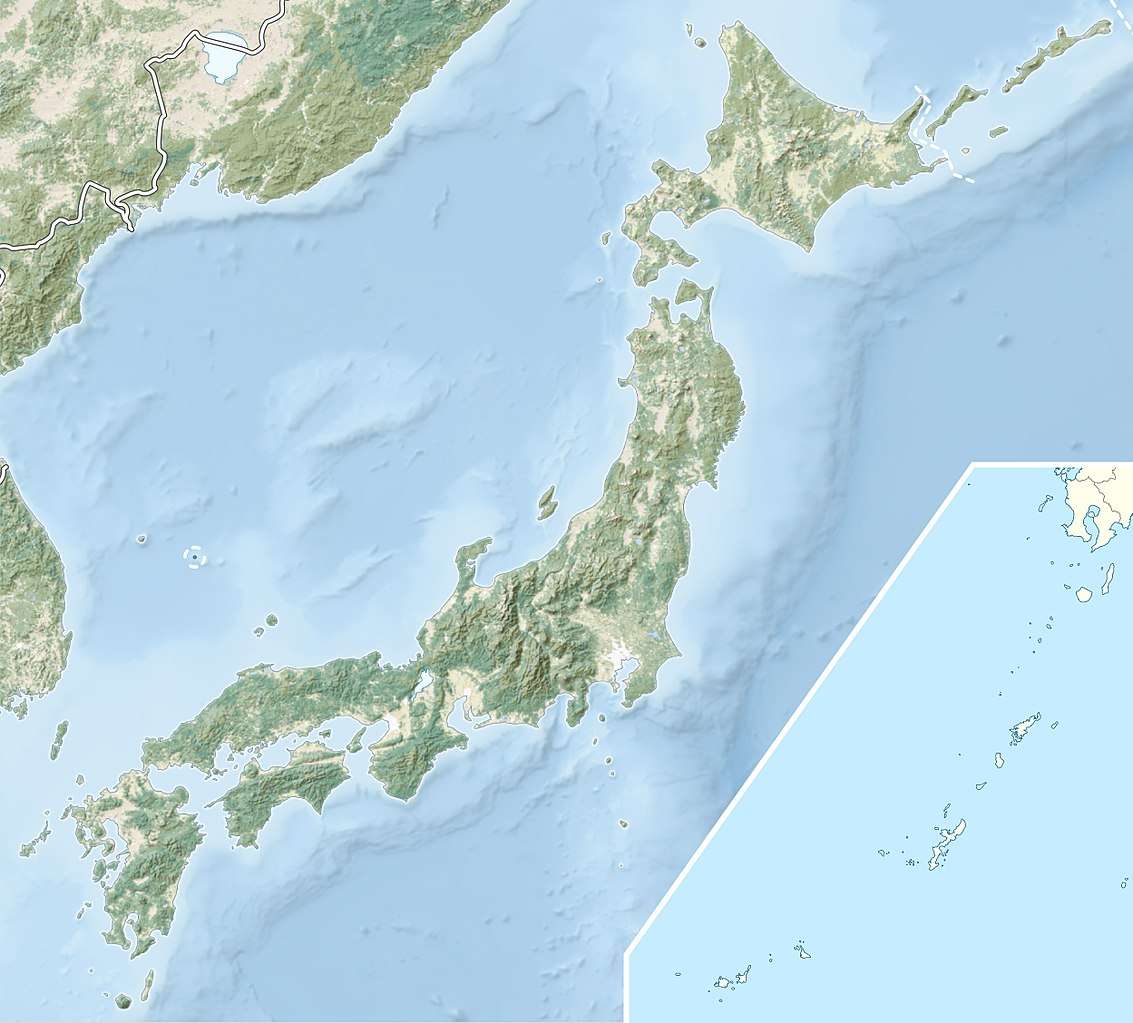 Sukagawa Ichirizuka (Japan) | |
| Location | Sukagawa, Fukushima, Japan |
|---|---|
| Region | Tōhoku region |
| Coordinates | 37°16′28″N 140°21′47″E |
| History | |
| Periods | Edo period |
| Site notes | |
| Ownership | National Historic Site |
| Public access | Yes |
Overview
During the Edo period Tokugawa shogunate established ichirizuka on major roads, enabling calculation both of distance travelled and of the charge for transportation by kago or palanquin.[2] These mounds, denoted the distance in ri (3.927 kilometres (2.440 mi)) to Nihonbashi, the "Bridge of Japan", erected in Edo in 1603.[3]
In the case of the Sukagawa ishirizuka, the mounds flank the Ōshū Kaidō, and were the 59th marker from Nihonbashi. The mounds are approximately three meters in height and four to five meters in diameter, with trees planted on the top. While the mounds were in good preservation, they were substantially repaired and enlarged in 1984. The site is about 10 minutes by car from Sukagawa Station on the JR East Tōhoku Main Line.
References
- "須賀川一里塚" [Sukagawa Ichirizuka] (in Japanese). Agency for Cultural Affairs.
- "Tokyo Cultural Properties Database: Nishigahara Ichirizuka". Tokyo Metropolitan Government. Retrieved 3 July 2012.
- Nenzi, Laura (2008). Excursions in Identity: Travel and the Intersection of Place, Gender, and Status in Edo Japan. University of Hawaii Press. pp. 21–22. ISBN 978-0-824-83117-2.
External links
| Wikimedia Commons has media related to Sukagawa Ichirizuka. |
- Sukagawa city official site
- Koriyama tourism home page (in Japanese)