Stecklenberg
Stecklenberg is a village and a former municipality in the district of Harz, in Saxony-Anhalt, Germany. Since 23 November 2009, it is part of the town Thale.
Stecklenberg | |
|---|---|
Stadtteil of Thale | |
 Coat of arms | |
Location of Stecklenberg in Harz district prior to its merger into Thale  | |
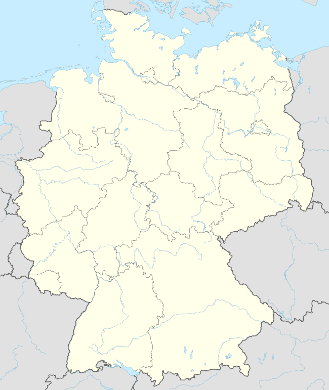 Stecklenberg 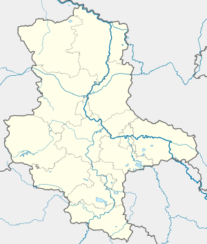 Stecklenberg | |
| Coordinates: 51°44′N 11°5′E | |
| Country | Germany |
| State | Saxony-Anhalt |
| District | Harz |
| Town | Thale |
| Area | |
| • Total | 5.98 km2 (2.31 sq mi) |
| Elevation | 265 m (869 ft) |
| Population (2006-12-31) | |
| • Total | 663 |
| • Density | 110/km2 (290/sq mi) |
| Time zone | CET/CEST (UTC+1/+2) |
| Postal codes | 06507 |
| Dialling codes | 03947 |
| Vehicle registration | HZ |
Sights
The Glockenstein is a granite block in the shape of a bell that was probably used in prehistoric times as an Old Germanic cult site. Today it is checkpoint 73 on the Harzer Wandernadel hiking network.[1]
References
- Stempelstelle 73 / Glockenstein at www.harzer-wandernadel.de. Retrieved 1 Nov 2017.
This article is issued from Wikipedia. The text is licensed under Creative Commons - Attribution - Sharealike. Additional terms may apply for the media files.