Spokane Valley
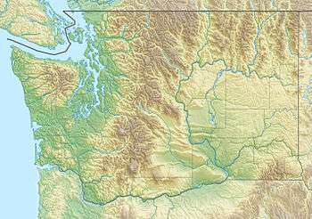
The Spokane Valley is a valley of the Spokane River through the southern Selkirk Mountains in the U.S. state of Washington. The valley is home to the cities of Spokane Valley, Liberty Lake, and Millwood (all of which are suburbs of the city of Spokane). The valley is bounded on the north and south by the Selkirk Mountains, on the west by Spokane, and on the east by the Rathdrum Prairie at the Idaho state border. Mica Peak, located south of the valley, is the southernmost peak in the Selkirk Range. The mountain, along with surrounding peaks, separates the Spokane Valley from the Palouse.[2] The Valley contains part of the Spokane Valley–Rathdrum Prairie Aquifer.
| Spokane Valley | |
|---|---|
| The Valley | |
 Spokane Valley | |
| Floor elevation | 1,896 ft (578 m)[1] |
| Depth | 3,309 feet (1,009 m) |
| Geography | |
| Population centers |
|
| Borders on | Spokane (west), Selkirk Range (north), Rathdrum Prairie, Idaho (east), Selkirk Range (south) |
| Coordinates | 47°43′03″N 117°02′51″W [1] |
| Traversed by | Interstate 90, Washington State Route 290 |
| Rivers | Spokane River, Saltese Creek, Cable Creek |
Climate
Most of the valley is classified as a Mediterranean Climate (Köppen Csa), however the western slope of the Saltese Uplands closely border on a semi-arid climate (Köppen Bsk).

See also
References
- "Spokane Valley". Geographic Names Information System. United States Geological Survey.
- "SummitPost". SummitPost.org. Retrieved 2016-09-01.