South Hazelton
South Hazleton is an unincorporated community along the Skeena River in northwestern British Columbia, Canada.[3] It is situated on the Yellowhead Highway (Highway 16), 128 km (80 mi) northeast of Terrace and 73 km (45 mi) northwest of Smithers and in 2016 had a population of 199 people.[1] South Hazelton is one of the "Three Hazeltons", the other two being the original "Old" Hazelton, located upstream to the north near to the confluence of the Skeena and Bulkley Rivers and 13 km (8 mi) by road; and New Hazelton, located 5 km (3 mi) to the east.[4]
South Hazelton | |
|---|---|
Unincorporated community | |
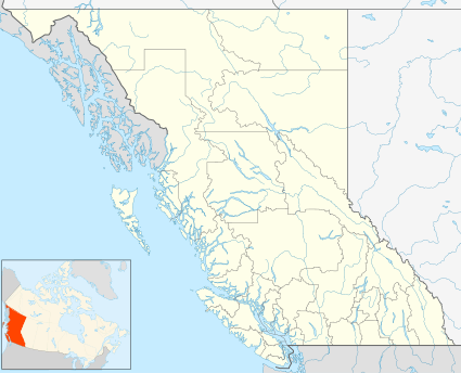 South Hazelton Location of South Hazelton. | |
| Coordinates: 55°14′0″N 127°40′0″W | |
| Country | |
| Province | |
| Region | Skeena |
| Regional district | Kitimat-Stikine |
| Area | |
| • Land | 0.71 km2 (0.27 sq mi) |
| Population (2016)[1] | |
| • Total | 199 |
| Time zone | UTC-8 (PST) |
| • Summer (DST) | UTC-7 (PDT) |
| Highways | |
| Waterways | Skeena River |
| [2][3] | |
References
- "South Hazelton, Unincorporated place [Designated place], British Columbia and British Columbia [Province]". Census Profile, 2016 Census. Statistics Canada. August 9, 2019. Retrieved July 16, 2020.
- "South Hazelton". Geographical Names Data Base. Natural Resources Canada.
- "South Hazelton". BC Geographical Names. Retrieved July 16, 2020.
- Google (July 17, 2020). "South Hazelton" (Map). Google Maps. Google. Retrieved July 17, 2020.
| Subdivisions |  | |
|---|---|---|
| Communities | ||
| Metro areas and agglomerations |
| |
| ||
This article is issued from Wikipedia. The text is licensed under Creative Commons - Attribution - Sharealike. Additional terms may apply for the media files.