Shyroka Balka
Shyroka Balka (Ukrainian: Широка Балка; Russian: Широкая Балка) is a settlement in Horlivka municipality of Donetsk Oblast of eastern Ukraine, at 43.5 km NNE from the centre of Donetsk city.
Shyroka Balka Широка Балка | |
|---|---|
 Shyroka Balka Location of Shyroka Balka within Ukraine 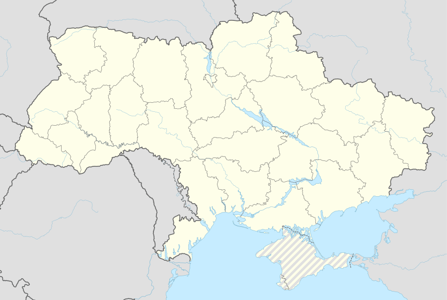 Shyroka Balka Shyroka Balka (Ukraine) | |
| Coordinates: 48°18′4″N 37°55′39″E | |
| Country | Ukraine |
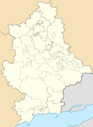
| Province | Donetsk Oblast |
| Elevation | 134 m (440 ft) |
| Population | |
| • Total | 477 |
| Time zone | UTC+2 (EET) |
| • Summer (DST) | UTC+3 (EEST) |
| Postal code | 84619 |
| Area code | +380 6242 |
During the War in Donbass, in 2015, the settlement was taken under control of pro-Russian forces of the self-proclaimed Donetsk People's Republic.[1]
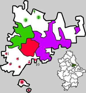
Administrative system of Horlivka:
|
Districts of Horlivka:
Kalinin |
Populated places: 1 — Hladosove 2 — Holmivskyi 3 — Zaitseve 4 — Mykhailivka 5 — Ozeryanivka 6 — Panteleymonivka 7 — Piatykhatky 8— Ryasne 9 — Stavky 10 — Fedorivka 11 — Shyroka Balka |
Demographics
Native language as of the Ukrainian Census of 2001:[2]
- Ukrainian 71.28%
- Russian 28.51%
- Belorussian 0.21%
References
External links
This article is issued from Wikipedia. The text is licensed under Creative Commons - Attribution - Sharealike. Additional terms may apply for the media files.