San Antonio, Buenaventura
San Antonio is a village in Buenaventura Municipality, Valle del Cauca Department in Colombia. It is surrounded by a very dense tropical rainforest.
San Antonio | |
|---|---|
 San Antonio Location in Valle del Cauca and Colombia 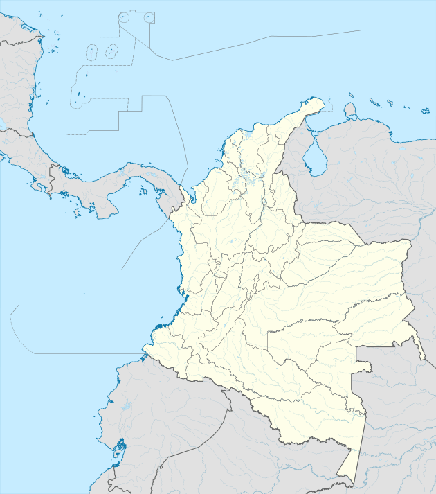 San Antonio San Antonio (Colombia) | |
| Coordinates: 3°15′38.4″N 77°15′33.3″W | |
| Country | |
| Department | Valle del Cauca |
| Municipality | Buenaventura municipality |
| Elevation | 230 ft (70 m) |
| Population (2005) | |
| • Total | 320 [1] |
| Time zone | UTC-5 (Colombia Standard Time) |
Climate
San Antonio has an extremely wet tropical rainforest climate (Af). It is the wettest place in the department of Valle del Cauca and one of the wettest in Colombia and in the world.
| Climate data for San Antonio | |||||||||||||
|---|---|---|---|---|---|---|---|---|---|---|---|---|---|
| Month | Jan | Feb | Mar | Apr | May | Jun | Jul | Aug | Sep | Oct | Nov | Dec | Year |
| Average high °C (°F) | 29.8 (85.6) |
30.4 (86.7) |
30.5 (86.9) |
30.6 (87.1) |
30.4 (86.7) |
30.1 (86.2) |
30.0 (86.0) |
30.0 (86.0) |
29.8 (85.6) |
29.6 (85.3) |
29.5 (85.1) |
29.6 (85.3) |
30.0 (86.0) |
| Daily mean °C (°F) | 25.7 (78.3) |
26.0 (78.8) |
26.1 (79.0) |
26.1 (79.0) |
26.1 (79.0) |
25.8 (78.4) |
25.8 (78.4) |
25.7 (78.3) |
25.5 (77.9) |
25.4 (77.7) |
25.5 (77.9) |
25.6 (78.1) |
25.8 (78.4) |
| Average low °C (°F) | 22.5 (72.5) |
22.7 (72.9) |
22.7 (72.9) |
22.8 (73.0) |
22.7 (72.9) |
22.6 (72.7) |
22.4 (72.3) |
22.5 (72.5) |
22.4 (72.3) |
22.3 (72.1) |
22.5 (72.5) |
22.5 (72.5) |
22.6 (72.6) |
| Average rainfall mm (inches) | 684.8 (26.96) |
567.2 (22.33) |
587.6 (23.13) |
819.1 (32.25) |
878.3 (34.58) |
825.7 (32.51) |
780.6 (30.73) |
787.8 (31.02) |
904.3 (35.60) |
950.0 (37.40) |
850.5 (33.48) |
808.6 (31.83) |
9,444.5 (371.82) |
| Average rainy days | 24 | 19 | 20 | 25 | 27 | 26 | 25 | 26 | 26 | 27 | 25 | 25 | 295 |
| Source: [2] | |||||||||||||
References
- "San Antonio (Buenaventura, Valle del Cauca, Colombia) - Population Statistics, Charts, Map, Location, Weather and Web Information". www.citypopulation.de.
- "Data". www.ideam.gov.co. Retrieved 2020-06-21.
This article is issued from Wikipedia. The text is licensed under Creative Commons - Attribution - Sharealike. Additional terms may apply for the media files.