Saint-Bonnet-de-Montauroux
Saint-Bonnet-de-Montauroux (Occitan: Sent Bonet de Montaurós) is a former commune in the Lozère department in southern France. On 1 January 2017, it was merged into the new commune Saint-Bonnet-Laval.[2]
Saint-Bonnet-de-Montauroux | |
|---|---|
Part of Saint-Bonnet-Laval | |
 The railway station of Saint-Bonnet-de-Montauroux | |
.svg.png) Coat of arms | |
Location of Saint-Bonnet-de-Montauroux 
| |
 Saint-Bonnet-de-Montauroux 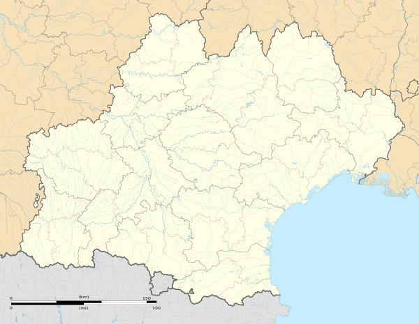 Saint-Bonnet-de-Montauroux | |
| Coordinates: 44°48′59″N 3°43′15″E | |
| Country | France |
| Region | Occitanie |
| Department | Lozère |
| Arrondissement | Mende |
| Canton | Langogne |
| Commune | Saint-Bonnet-Laval |
| Area 1 | 21.33 km2 (8.24 sq mi) |
| Population (2017)[1] | 98 |
| • Density | 4.6/km2 (12/sq mi) |
| Time zone | UTC+01:00 (CET) |
| • Summer (DST) | UTC+02:00 (CEST) |
| Postal code | 48600 |
| Elevation | 729–1,180 m (2,392–3,871 ft) (avg. 830 m or 2,720 ft) |
| 1 French Land Register data, which excludes lakes, ponds, glaciers > 1 km2 (0.386 sq mi or 247 acres) and river estuaries. | |
Geography
The Chapeauroux flows northeastward through the commune, forms part of its north-eastern border, then flows into the Allier which forms the commune's eastern border.
See also
References
- Téléchargement du fichier d'ensemble des populations légales en 2017, INSEE
- Arrêté préfectoral 13 September 2016 (in French)
| Wikimedia Commons has media related to Saint-Bonnet-de-Montauroux. |
| Authority control |
|
|---|
This article is issued from Wikipedia. The text is licensed under Creative Commons - Attribution - Sharealike. Additional terms may apply for the media files.