Rupha Wayi
Rupha Wayi (Quechua rupha burning, Ancash Quechua wayi house,[2][3] "burning house", also spelled Rupahuay) is a mountain in the Andes of Peru which reaches a height of approximately 4,400 m (14,436 ft). It is located in the Ancash Region, Bolognesi Province, Huallanca District.[1]
| Rupha Wayi | |
|---|---|
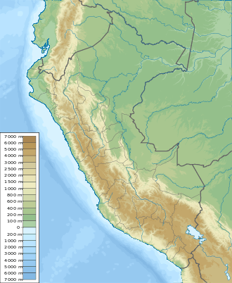 Rupha Wayi Peru | |
| Highest point | |
| Elevation | 4,400 m (14,400 ft) [1] |
| Coordinates | 9°47′24″S 76°58′43″W |
| Geography | |
| Location | Peru, Ancash Region |
| Parent range | Andes |
References
- escale.minedu.gob.pe - UGEL map of the Bolognesi Province (Ancash Region)
- Teofilo Laime Ajacopa, Diccionario Bilingüe Iskay simipi yuyayk'ancha, La Paz, 2007 (Quechua-Spanish dictionary)
- Leonel Alexander Menacho López, Yachakuqkunapa Shimi Qullqa, Anqash Qhichwa Shimichaw (Ministerio de Educación), Wordbook Ancash Quechua-Spanish
This article is issued from Wikipedia. The text is licensed under Creative Commons - Attribution - Sharealike. Additional terms may apply for the media files.