Ruborough Camp
Ruborough Camp is an Iron Age hill fort on the Quantock Hills near Broomfield in Somerset, England. The name comes from Rugan beorh or Ruwan-beorge meaning Rough Hill. It is a Scheduled Ancient Monument[2] and on the Heritage at Risk Register.[3]
| Ruborough Camp | |
|---|---|
 Plan of earthworks at Ruborough Camp | |
| Location | Broomfield, Somerset, England |
| Coordinates | 51°05′46″N 3°06′18″W |
| Area | 1.8 hectares (4.4 acres) |
| Built | Iron Age |
| Reference no. | 191142[1] |
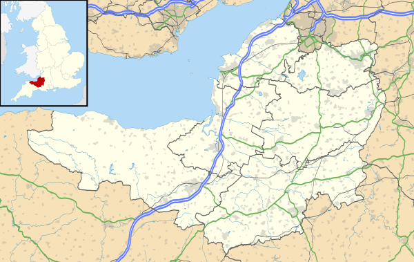 Location of Ruborough Camp in Somerset | |
Description
The hill fort is on an easterly spur from the main Quantock ridge, with steep natural slopes to the north and south-east. The fort is triangular in shape, with a single rampart and ditch (univallate), enclosing 1.8 hectares (4.4 acres). There is a linear outer work about 120 m away, parallel to the westerly rampart, enclosing another 1.8 ha.
There was a tunnel, which has now been filed in, which gave the camp safe access to a nearby spring for water.[4]
It was common for ancient hill forts to be reused as pens for domesticated animals in the Medieval period, and there is documentary evidence that Ruborough became a porcheria, or piggery, owned by the Saxon domain of Somerton.
See also
- Plainsfield Camp
- Dowsborough
- Trendle Ring
- List of hill forts and ancient settlements in Somerset
- Hillforts in Britain
- Hillfort
References
- Dumnonia and the Valley of the Parret, Rev W.H.P.Greswell, 1922
- "Ruborough Camp". National Monuments Record. English Heritage. Archived from the original on 2 October 2012. Retrieved 26 March 2011.
- "Ruborough Camp Hillfort". Digital Digging. Archived from the original on 11 August 2010. Retrieved 27 August 2010.
- "Ruborough Camp large univallate hillfort, Broomfield – Sedgemoor". Heritage at Risk. English Heritage. Retrieved 14 October 2013.
- Waite, Vincent (1964). Portrait of the Quantocks. London: Robert Hale. ISBN 0-7091-1158-4.