Rio Hondo (Northern New Mexico)
In northern New Mexico, the Rio Hondo begins high in the Sangre de Cristo Mountains near Taos Ski Valley and flows for approximately 20 miles (32 km) into the Rio Grande. Portions of the Rio Hondo are prized as prime spots for bird-watching and fishing.[3] The river was the subject of a 2005 study by the New Mexico Environment Department Surface Water Quality Bureau into the effects of wastewater from Taos Ski Valley, which is discharged from the Village of Taos Ski Valley Waste Water Treatment Plant.[4]
| Rio Hondo | |
|---|---|
 Children near the Rio Hondo, Taos County, 1941 | |
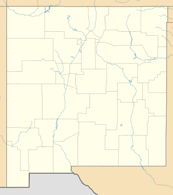 Location of the mouth of the Rio Hondo in New Mexico | |
| Location | |
| Country | United States |
| State | New Mexico |
| County | Taos |
| Physical characteristics | |
| Source | Above Taos Ski Valley |
| • location | Taos Mountains |
| • coordinates | 36°36′40″N 105°25′42″W[1] |
| • elevation | 10,840 ft (3,300 m)[2] |
| Mouth | Rio Grande |
• location | Rio Grande Gorge |
• coordinates | 36°32′11″N 105°39′37″W[1] |
• elevation | 6,840 ft (2,080 m)[1] |
| Length | 20 mi (32 km) |
In Spanish, Río Hondo means "deep river".[5]
References
- U.S. Geological Survey Geographic Names Information System: Rio Hondo
- USGS topographic maps
- "Carson National Forest - Recreational Activities". Retrieved 2008-07-17.
- "The WQCC-Approved Rio Hondo Watershed Nutrients TMDL". Retrieved 2008-07-17.
- Julyan, Robert Hixson (1996). The Place Names of New Mexico. University of New Mexico Press. p. 296. ISBN 978-0-8263-1689-9.
This article is issued from Wikipedia. The text is licensed under Creative Commons - Attribution - Sharealike. Additional terms may apply for the media files.