Raupunga
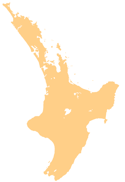
Raupunga is a small settlement in the northern Hawke's Bay Region of New Zealand's eastern North Island. It is located close to the country's highest railway bridge, the Mohaka Viaduct, which crosses the Mohaka River. The predominantly Māori village is expected to have a population of 266 people by 2033.[1]
Raupunga | |
|---|---|
 Raupunga | |
| Coordinates: 39°02′S 177°13′E | |
| Country | New Zealand |
| Region | Hawke's Bay |
| Territorial authority | Wairoa District |
The village got running water for the first time in 2017, when a 9 kilometre electric pump system was built from Mangawharangi Stream for $1 million. Until that time, many of the 56 households had got water from buckets.[1]
The township includes a number of marae (meeting grounds) and wharenui (meeting houses) for the local iwi (tribe) of Ngāti Kahungunu and its hapū (sub-tribes):[2][3]
- Kurahikakawa Marae, affiliated with Ngāti Pāhauwera hapū, and Ngāti Pāhauwera iwi.
- Rangiāhua marae and Te Poho o Tamaterangi wharenui, affiliated with Ngāi Tamaterangi hapū.
- Raupunga Marae and Te Huki wharenui, affiliated with Ngāti Pāhauwera hapū.
References
- Treacher, Aroha (30 July 2017). "Raupunga villagers to get running water". Māori Television.
- "Te Kāhui Māngai directory". tkm.govt.nz. Te Puni Kōkiri.
- "Māori Maps". maorimaps.com. Te Potiki National Trust.
This article is issued from Wikipedia. The text is licensed under Creative Commons - Attribution - Sharealike. Additional terms may apply for the media files.