Rapti-Sonari Rural Municipality
Rapti-Sonari Rural Municipality (Nepali :राप्तिसोनारी गाउँपालिका) is a Gaunpalika in Banke District in Province No. 5 of Nepal. On 12 March 2017, the government of Nepal implemented a new local administrative structure. With the implementation of the new structure, VDSs have been replaced with municipal and Village Councils. Rapti-Sonari is one of these 744 local units.[1]
Rapti-Sonari Rural Municipality राप्तिसोनारी गाउँपालिका | |
|---|---|
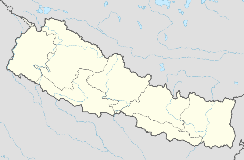 Rapti-Sonari Rural Municipality Location in Nepal | |
| Coordinates: 28.044370°N 81.955280°E | |
| Country | |
| Province | Province No. 5 |
| District | Banke District |
| Area | |
| • Total | 1,042 km2 (402 sq mi) |
| Population | |
| • Total | 60,925 |
| • Density | 58/km2 (150/sq mi) |
| Time zone | UTC+5:45 (Nepal Time) |
| Website | http://raptisonarimun.gov.np/ |
References
- "राप्ती सोनारी गाउँपालिका | गाउँ कार्यपालिकाको कार्यालय अगैया, बाँके प्रदेश नं. ५, नेपाल". raptisonarimun.gov.np. Retrieved 2020-07-08.
Headquarters: Nepalgunj | ||
| Sub-metropolitan cities |  | |
| Municipalities | ||
| Rural munticipalities |
| |
| Former VDCs |
| |
List of municipalities and rural municipalities of Nepal | ||
This article is issued from Wikipedia. The text is licensed under Creative Commons - Attribution - Sharealike. Additional terms may apply for the media files.