Puka Parya
Puka Parya (Quechua puka red, parya reddish, copper or sparrow,[2][3][4] Hispanicized spelling Puca Paria) is a 4,865-metre-high (15,961 ft) mountain in the Andes of Peru. It is situated in the Lima Region, Cajatambo Province, Gorgor District, and in the Huaura Province, Ambar District. Puka Parya lies northwest of Mataqucha and east of Wathiyaqucha.[1][5]
| Puka Parya | |
|---|---|
 Puka Parya Peru | |
| Highest point | |
| Elevation | 4,865 m (15,961 ft) [1] |
| Coordinates | 10°40′42″S 77°01′28″W |
| Geography | |
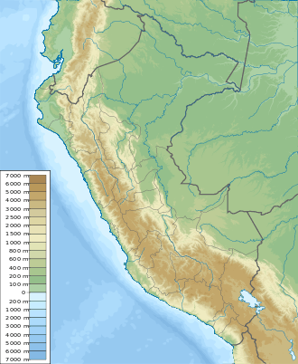
| Location | Peru, Lima Region |
| Parent range | Andes |
References
- "Cerro Puca Paria". IGN, Peru. Archived from the original on April 2, 2015. Retrieved March 8, 2015.
- Teofilo Laime Ajacopa, Diccionario Bilingüe Iskay simipi yuyayk'ancha, La Paz, 2007 (Quechua-Spanish dictionary)
- César W. Astuhuamán Gonzáles, Pariacaca: un oráculo imperial andino: "Respecto al significado del nombre de la deidad, los términos Paria (rojiza) y caca (montaña), aluden a una montaña rojiza, ... ."
- Rodolfo Cerrón-Palomino, Pontificia Universidad Católica del Perú, Sufijos arcaicos quechuas en la toponimia andina, Etimologias, Lexis XXVI. 2 (2002): 559-577
- escale.minedu.gob.pe - UGEL map of the Cajatambo Province (Lima Region)
This article is issued from Wikipedia. The text is licensed under Creative Commons - Attribution - Sharealike. Additional terms may apply for the media files.