Promontory Point (Utah)
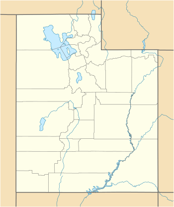
Promontory Point is the cape or southernmost point of the peninsula formed where the Promontory Mountains project into the northern Great Salt Lake in southeastern Box Elder County, Utah, United States.[1][2]

| Promontory Point | |
|---|---|
 Promontory Point Location within the State of Utah  Promontory Point Location within the United States | |
| Location | Box Elder County, Utah United States |
| Coordinates | 41°13′20″N 112°24′41″W[1] |
| Range | Promontory Mountains |
| Offshore water bodies | Great Salt Lake |
| Elevation | 4,912 feet (1,497 m)[1] |
Description
The cape is 3 miles (4.8 km) northwest of the west end of Fremont Island in Weber County.[2] The Lucin Cutoff passes 1,250 feet (380 m) north of the point of the cape.[2]
The unincorporated community of Promontory and its location, Promontory Summit, are both frequently (but incorrectly) referred to as "Promontory Point". Promontory Summit is the site where the First Transcontinental Railroad was completed and is located about 30 miles (48 km) north–northwest of Promontory Point, near the north end of the Promontory Mountains.
See also
![]()
References
- U.S. Geological Survey Geographic Names Information System: Promontory Point
- Promontory Point, Utah, 7.5 Minute Quadrangle, USGS, 1991