Post Mills Airport
Post Mills Airport (FAA LID: 2B9) is a privately owned, public use airport in Orange County, Vermont, United States. It is located within the central business district of the Village of Post Mills.[1]
Post Mills Airport | |||||||||||||||
|---|---|---|---|---|---|---|---|---|---|---|---|---|---|---|---|
| Summary | |||||||||||||||
| Airport type | Public | ||||||||||||||
| Owner | Brian Boland | ||||||||||||||
| Serves | Post Mills, Vermont | ||||||||||||||
| Elevation AMSL | 693 ft / 211 m | ||||||||||||||
| Coordinates | 43°53′03″N 072°15′13″W | ||||||||||||||
| Map | |||||||||||||||
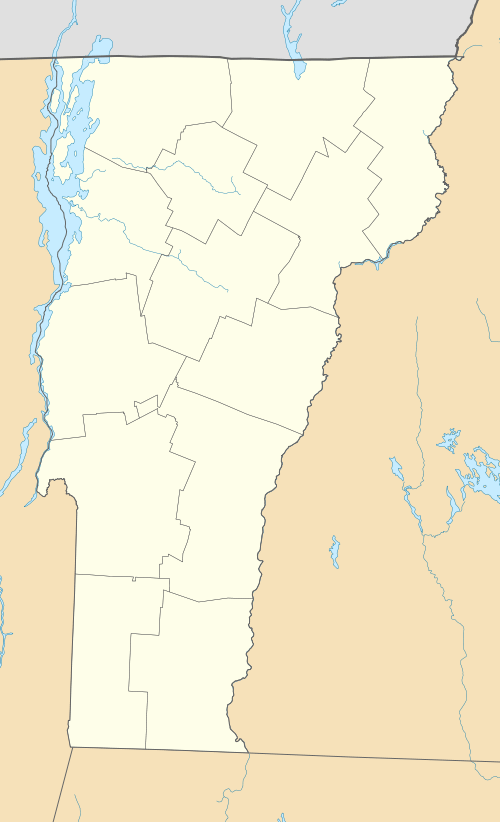 2B9 Location of airport in Vermont/United States  2B9 2B9 (the United States) | |||||||||||||||
| Runways | |||||||||||||||
| |||||||||||||||
| Statistics (2009) | |||||||||||||||
| |||||||||||||||
Although most U.S. airports use the same three-letter location identifier for the FAA and IATA, this airport is assigned 2B9 by the FAA[1] but has no designation from the IATA[2]
Facilities and aircraft
Post Mills Airport covers an area of 50 acres (20 ha) at an elevation of 693 feet (211 m) above mean sea level. It has two turf runways designated 04/22, with a surface measuring 2,900 by 80 feet (884 x 24 m) and 05/23, with a surface measuring 2,300 by 80 feet (701 x 24 m).[1]
For the 12-month period ending June 2, 2009, the airport had 4,333 aircraft operations, an average of 12 per day: 100% general aviation with a few air taxi and ultralights. At that time there were 33 aircraft based at this airport: 73% single-engine, 18% gliders and 9% ultralights.[1]
References
- FAA Airport Master Record for 2B9 (Form 5010 PDF), effective 2009-08-27.
- "2B9 - Post Mills, Vermont - Post Mills Airport". Great Circle Mapper. Retrieved 2009-09-13.
External links
- Aerial photo as of April 1998 from USGS The National Map via MSR Maps
- Resources for this airport:
- FAA airport information for 2B9
- AirNav airport information for 2B9
- FlightAware airport information and live flight tracker
- SkyVector aeronautical chart for 2B9