Point Lay LRRS Airport
Point Lay LRRS Airport (IATA: PIZ, ICAO: PPIZ, FAA LID: PIZ) is a public and military use airport owned by the United States Government and located in Point Lay,[1] in the North Slope Borough of the U.S. state of Alaska. It is also known as Point Lay Airport. The acronym LRRS stands for Long Range Radar Site or Long Range Radar Station.
Point Lay LRRS Airport | |||||||||||
|---|---|---|---|---|---|---|---|---|---|---|---|
| Summary | |||||||||||
| Airport type | Public / military | ||||||||||
| Owner | U.S. Government 11 TCW/LGO Elmendorf | ||||||||||
| Location | Point Lay, Alaska | ||||||||||
| Elevation AMSL | 25 ft / 8 m | ||||||||||
| Coordinates | 69°43′56″N 163°00′40″W | ||||||||||
| Map | |||||||||||
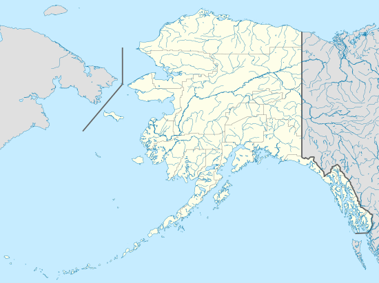 PPIZ Location of Point Lay LRRS Airport | |||||||||||
| Runways | |||||||||||
| |||||||||||
| Statistics (2005) | |||||||||||
| |||||||||||
Facilities and aircraft
Point Lay LRRS Airport has one runway designated 5/23 with a gravel surface measuring 3,519 by 80 feet (1,073 x 24 m). For the 12-month period ending December 31, 2005, the airport had 120 aircraft operations, an average of 10 per month: 42% air taxi, 42% military and 16% general aviation.[1]
Airlines and destinations
Prior to its bankruptcy and cessation of all operations, Ravn Alaska served the airport from multiple locations.
Top Destinations
| Rank | City | Passengers | Carriers |
|---|---|---|---|
| 1 | 1,000 | Hageland | |
History
The airport was built in 1957 to support the Distant Early Warning Line Radar station at Point Lay (LIZ-2). The station was logistically supported by the 711th Aircraft Control and Warning Squadron based at Cape Lisburne Air Force Station, although Point Lay was operated by civilian contract workers.
The radar station was upgraded in the late 1980s with new radars and in 1989 was re-designated part of the North Warning System (NWS) as a Long Range Radar Site, A-15, controlled by the Pacific Air Forces 611th Air Support Group, based at Elmendorf AFB.
The LRR site was inactivated in 1989 due to soil erosion and budget concerns. After its closure, the radar was removed in August 1998 and other military buildings were removed around 2000, returning the site to a natural condition. The airport remains open to support the small settlement at Point Lay.
References
![]()
External links
- FAA Alaska airport diagram (GIF)
- FAA Terminal Procedures for PIZ, effective August 13, 2020
- Resources for this airport:
- FAA airport information for PIZ
- AirNav airport information for PPIZ
- ASN accident history for PIZ
- FlightAware airport information and live flight tracker
- NOAA/NWS latest weather observations for PPIZ
- SkyVector aeronautical chart for PIZ