Pirinoa
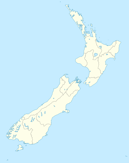
Pirinoa is a rural community east of Lake Wairarapa, in the South Wairarapa District and Wellington Region of New Zealand's North Island. It includes the rural settlement of Pirinoa, and the coastal settlement of Whāngaimoana.
Pirinoa | |
|---|---|
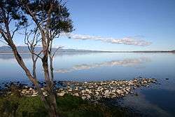 The Pirinoa landscape behind Lake Wairarapa | |
 Pirinoa | |
| Coordinates: 41.352730°S 175.205529°E | |
| Country | New Zealand |
| Region | Wellington |
| Territorial authority | South Wairarapa |
| Time zone | UTC+12 (NZST) |
| • Summer (DST) | UTC+13 (NZDT) |
| Area code(s) | 04 |
The local Kohunui Marae is a tribal meeting ground for the Ngāti Kahungunu hapū of Ngāi Rangawhakairi, Ngāti Rākairangi and Ngāti Tūkoko, and the Rangitāne hapū of Ngāti Tūkoko. It has a wharenui or meeting house, called Te Tihi o Tuhirangi.[1][2]
Education
Pirinoa School is a co-educational state primary school for Year 1 to 8 students,[3][4] with a roll of 42 as of March 2020.[5]
References
- "Te Kāhui Māngai directory". tkm.govt.nz. Te Puni Kōkiri.
- "Māori Maps". maorimaps.com. Te Potiki National Trust.
- "Pirinoa School Official School Website". pirinoa.school.nz.
- "Pirinoa School Ministry of Education School Profile". educationcounts.govt.nz. Ministry of Education.
- "Pirinoa School Education Review Office Report". ero.govt.nz. Education Review Office.
This article is issued from Wikipedia. The text is licensed under Creative Commons - Attribution - Sharealike. Additional terms may apply for the media files.