Pic de Sotllo
Pic de Sotllo (French: Pic du port de Sullo, Occitan: Pic del pòrt de Sollo) is a mountain of the Montcalm Massif. Located in the Pyrenees, at the border between France and Spain, it has an altitude of 3,072 metres (10,079 ft) above sea level.[1]
| Pic de Sotllo | |
|---|---|
 2010 | |
| Highest point | |
| Elevation | 3,072.7 m (10,081 ft) |
| Prominence | 198 m (650 ft) |
| Isolation | 770 m (2,530 ft) to Pic Verdaguer |
| Coordinates | 42°40′7.297″N 1°23′14.91″E |
| Geography | |
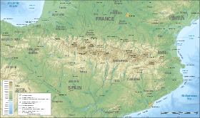 Pic de Sotllo Location in the Pyrenees | |
| Location | Ariège, France Pallars Sobirà, Spain |
| Parent range | Montcalm Massif, Pyrenees |
| Geology | |
| Mountain type | Granite |
| Climbing | |
| First ascent | Unknown |
| Easiest route | From Vallferrera, Alins |
References
- "Mapa Topogràfic de Catalunya". Institut Cartogràfic de Catalunya. Retrieved May 22, 2010..
This article is issued from Wikipedia. The text is licensed under Creative Commons - Attribution - Sharealike. Additional terms may apply for the media files.