Pate Hole
Pate Hole is a solutional cave located adjacent to Asby Gill 1 kilometre (0.62 mi) south of Great Asby in Cumbria, England. It is 970 metres (3,180 ft) long and has a vertical range of 33 metres (108 ft). The entrance is normally dry, but in flood it becomes an impressive resurgence.[1] Its name derives from the north country word for badger.[2]
| Pate Hole | |
|---|---|
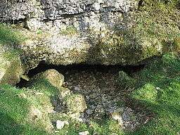 The entrance to Pate Hole | |
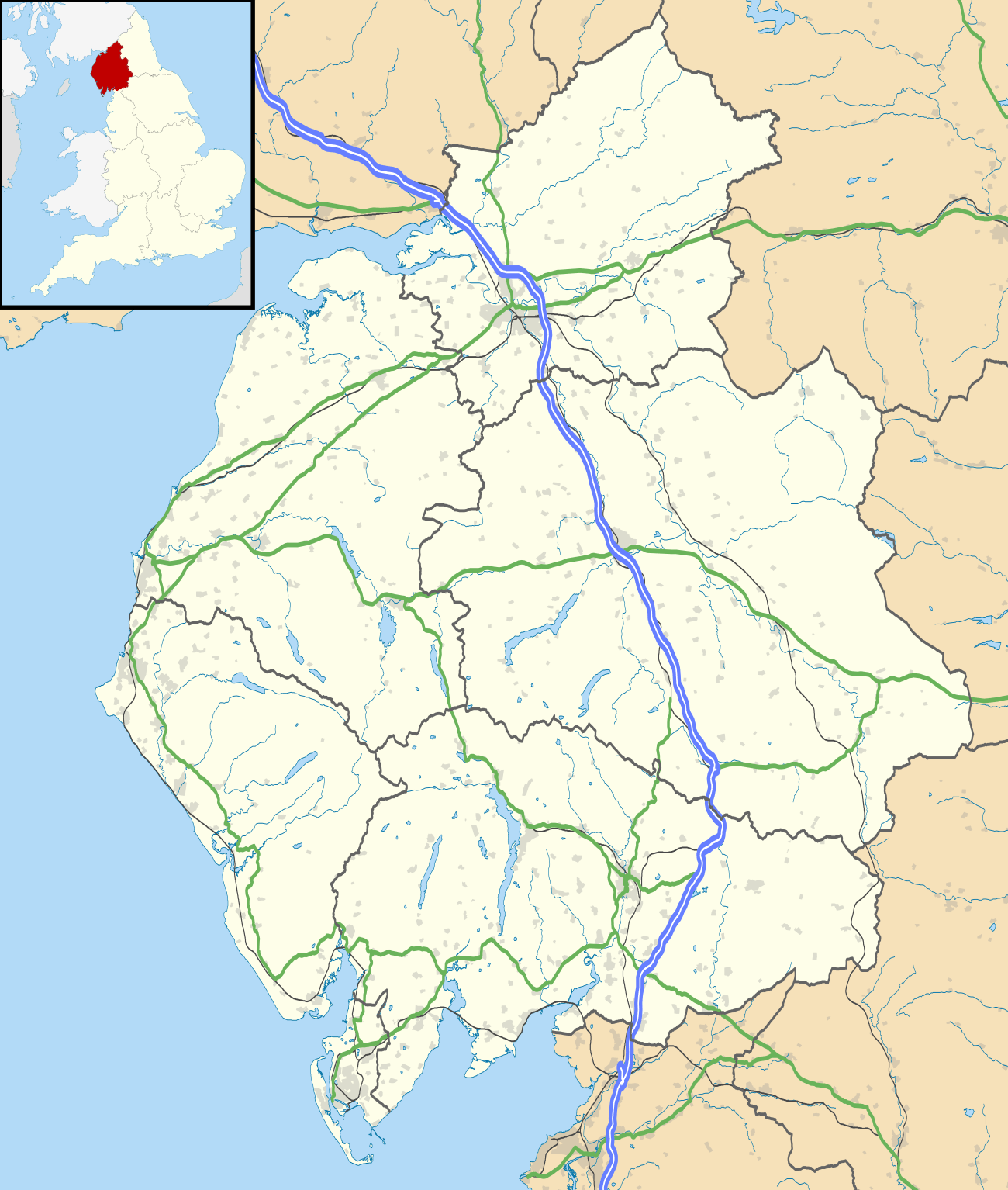 Showing location of Pate Hole in Cumbria | |
| Location | Great Asby, Cumbria, England |
| OS grid | NY 678 121 |
| Coordinates | 54°30′13″N 2°29′53″W[1] |
| Depth | 33 metres (108 ft)[1] |
| Length | 970 metres (3,180 ft)[1] |
| Elevation | 195 metres (640 ft)[1] |
| Geology | Carboniferous limestone |
| Entrances | 1 |
| Difficulty | III[1] |
| Hazards | flooding[1] |
| Cave survey | On Cavemaps |
It consists of three main passages. From the entrance a stooping height passage heading south-east reaches a large 6 metres (20 ft) deep pool after 330 metres (1,080 ft) from which a stream emerges. This flows down a low passage to the north for some 270 metres (890 ft) where a sump is reached. The third main passage continues south underwater from the pool for 225 metres (738 ft) at a depth of 27 metres (89 ft) where it reaches a junction and becomes too restricted.[1]
The cave is formed in Carboniferous limestone,[3] and is thought to drain the Great Asby Scar area 3 kilometres (1.9 mi) to the south-west.[4] The resurgence is presumed to be St. Thomas's Well in Great Asby.[5]
The main part of the cave has been known for a long time, and it was an object of curiosity in the nineteenth century.[6] A brief foray into it was described in The Gentleman's Magazine in 1791,[7] and a description appeared in The Monthly Magazine in 1802.[2] The first full description complete with passage lengths appeared in 1813.[8] The first account of an exploration by cavers was in 1941 by members of the Yorkshire Ramblers' Club,[9] and in November 1946 it was surveyed by a group from Appleby Grammar School led by Brian Price.[10] The upstream sump was first dived for about 10 metres (33 ft) to a descending rift in 1960 by members of the Cave Diving Group, at which time the main part of the cave was re-surveyed by Warburton et alia. Further exploration took place in 1975-1976 by members of the same group to reach the current limit.[4]
References
- Brook, Dave (1994). Northern Caves Volume 3. The Three Counties System and the North West. Skipton: Dalesman Publishing Company Ltd. pp. 254–255. ISBN 1855680831.
- Phillips, Richard (1 February 1802). "Account of Asby in the County of Westmoreland". The Monthly Magazine. XIII (1): 115–116. Retrieved 31 March 2017.
- "Geology of Britain Viewer". British Geological Survey. Retrieved 30 December 2013.
- Metcalfe, Dave (October 1978). "Pate Hole". Belfry Bulletin (366): 4. Retrieved 30 December 2013.
- Hill, Elaine; Hall, Adrian (2015). Northern Sump Index 2015. Cave Diving Group. p. 288,343. ISBN 978-0-901031-08-2.
- Bell, Thomas (1836). The scientific tourist through England, Wales & Scotland, Volume 2. Glasgow: A Fullarton and Co. p. 64.
- "Letter from T.C." The Gentleman's Magazine. 70: 923. 1791. Retrieved 31 December 2013.
- Bitton, John (1813). The Beauties of England and Wales. London: Longman & Co. pp. 152–153.
- "Cave Exploration". Yorkshire Ramblers' Club Journal. 7 (24): 77–183. 1947. Retrieved 30 December 2013.
- Price, Brian (1947). "Pate Hole, Westmorland (letter)". The British Caver (16): 87–88.