Parya Chaka
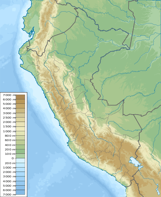
Parya Chaka (Quechua parya reddish, copper or sparrow,[2][3][4] chaka bridge, "reddish (copper or sparrow) bridge", Hispanicized spelling Pariachaca) is a mountain in the south of the Paryaqaqa or Waruchiri mountain range in the Andes of Peru, about 5,000 m (16,404 ft) high. It is also the name of a lake near the mountain. The mountain is located in the Lima Region, Huarochirí Province, Quinti District, and in the Yauyos Province, Tanta District. It is situated southwest of Paryaqaqa.[1] It is situated within the borders of the Nor Yauyos-Cochas Landscape Reserve.[5]
| Parya Chaka | |
|---|---|
 Parya Chaka Peru | |
| Highest point | |
| Elevation | 5,000 m (16,000 ft) [1] |
| Coordinates | 12°01′38″S 76°00′38″W |
| Geography | |
| Location | Peru, Lima Region |
| Parent range | Andes, Paryaqaqa |
The lake named Parya Chaka is west of the mountain at 12°01′49″S 76°01′34″W. It lies in a row between Ch'uspiqucha in the northeast and P'itiqucha in the southwest.
References
- escale.minedu.gob.pe - UGEL map of the Huarochirí Province (Lima Region)
- César W. Astuhuamán Gonzáles, Pariacaca: un oráculo imperial andino: "Respecto al significado del nombre de la deidad, los términos Paria (rojiza) y caca (montaña), aluden a una montaña rojiza, ... ."
- Rodolfo Cerrón-Palomino, Pontificia Universidad Católica del Perú, Sufijos arcaicos quechuas en la toponimia andina, Etimologias, Lexis XXVI. 2 (2002): 559-577
- Teofilo Laime Ajacopa, Diccionario Bilingüe Iskay simipi yuyayk'ancha, La Paz, 2007 (Quechua-Spanish dictionary)
- ParksWatch, Park Profile - Peru Nor Yauyos – Cochas Landscape Reserve, p. 6
This article is issued from Wikipedia. The text is licensed under Creative Commons - Attribution - Sharealike. Additional terms may apply for the media files.